


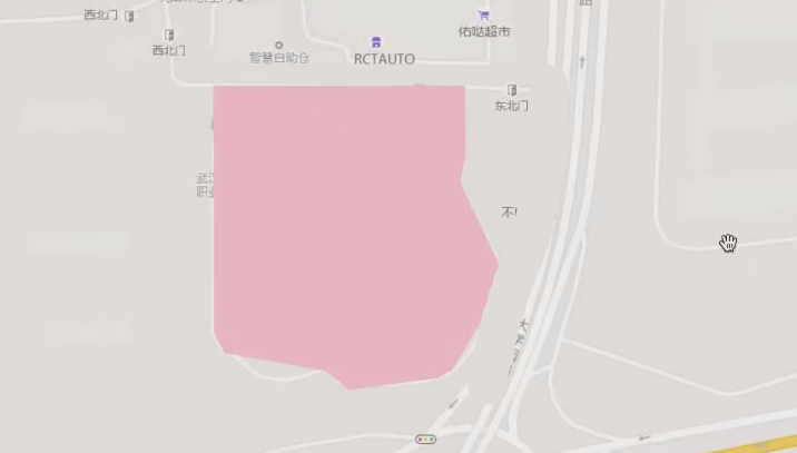
L7网站上绘制一个多边形:
将代码复制到下面:
const polygonData = {
  type: "FeatureCollection",
  features: [
    {
      type: "Feature",
      properties: {},
      geometry: {
        type: "Polygon",
        coordinates: [
          [
            [114.406325, 30.465113],
            [114.407769, 30.465113],
            [114.407773, 30.464781],
            [114.407741, 30.464636],
            [114.40796, 30.464241],
            [114.407977, 30.464111],
            [114.407692, 30.463704],
            [114.407611, 30.463669],
            [114.407106, 30.463609],
            [114.406968, 30.463704],
            [114.40639, 30.463792],
            [114.406329, 30.46389],
            [114.406325, 30.465113],
          ],
        ],
      },
    },
  ],
};
设置图层属性:
+ 图层的类型是 ` "fill"` ,表示这个图层用于填充多边形区域。 + ` source` 属性设置为 ` "polygon-source"` ,即之前添加的数据源。 + ` paint` 属性定义了图层的样式: - ` "fill-color": "pink"` 设置多边形的填充颜色为粉红色。 - ` "fill-opacity": 0.5` 设置多边形的填充透明度为 0.5(半透明)。map.addSource("polygon-source", {
type: "geojson",
data: polygonData,
});
map.addLayer({
id: "polygon-layer",
type: "fill",
source: "polygon-source",
paint: {
"fill-color": "pink",
"fill-opacity": 0.5,
},
});
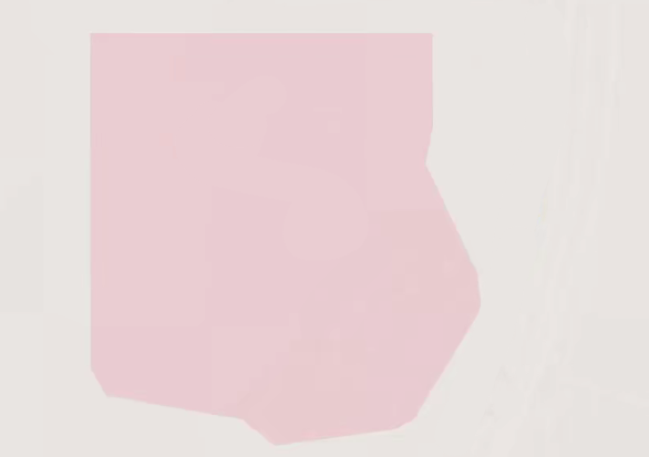
最后出来的效果:
地图点击事件:
我们在这里添加一个 点击事件监听器,通过点击地图,实现将前面绘制的半透明多边形变为不透明。map.on("click", function (e) {
map.setPaintProperty("polygon-layer", "fill-opacity", 1);
});


 139
139

 被折叠的 条评论
为什么被折叠?
被折叠的 条评论
为什么被折叠?
 到【灌水乐园】发言


