


 文章介绍了如何在网址更改后使用Python爬虫下载Wyoming大学的探空数据,并详细解释了如何将数据转换为FSL格式,包括控制信息和数据信息的编写规则。
1、网址问题
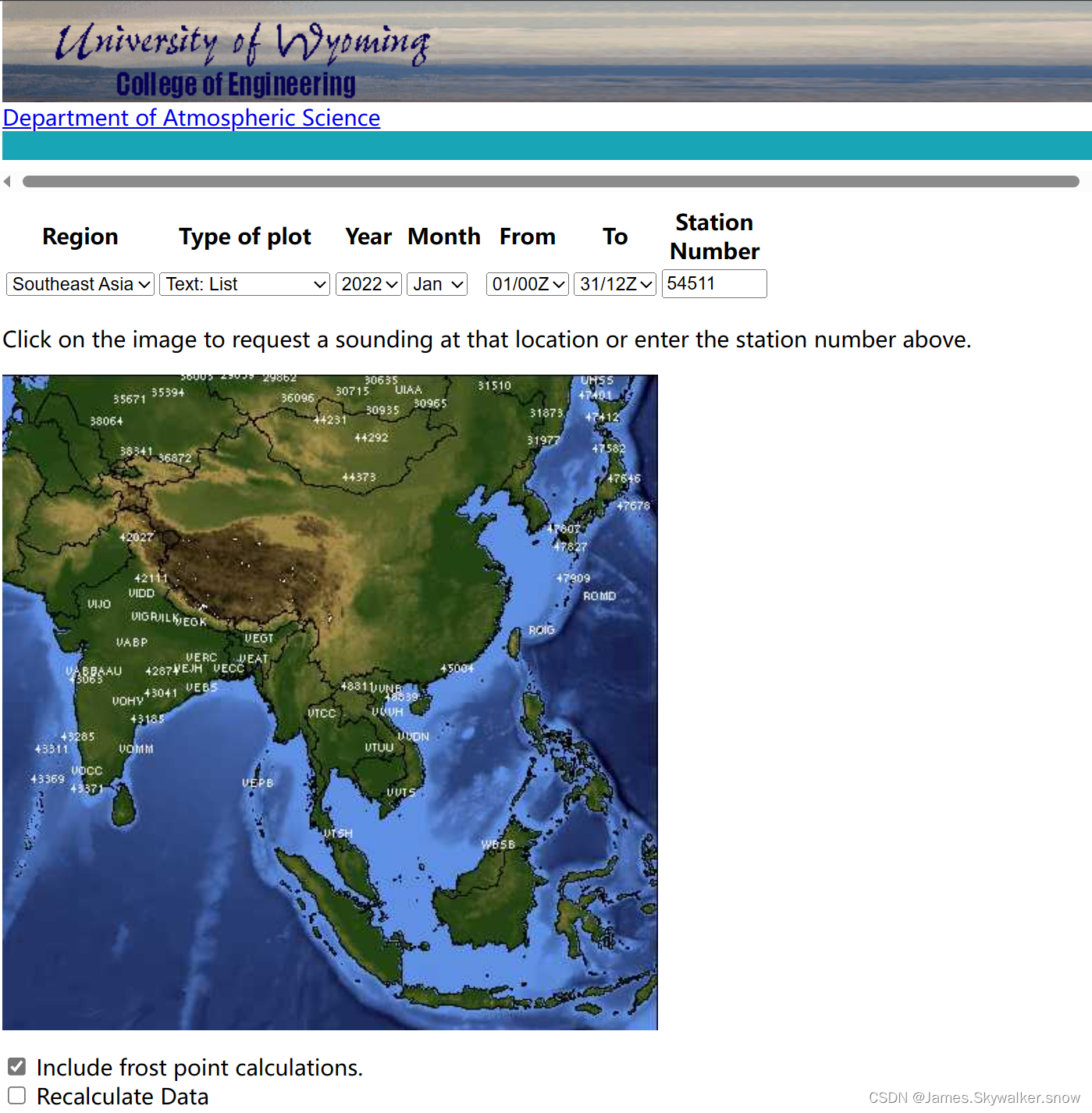
以前的数据网址:Atmospheric Soundings (uwyo.edu)
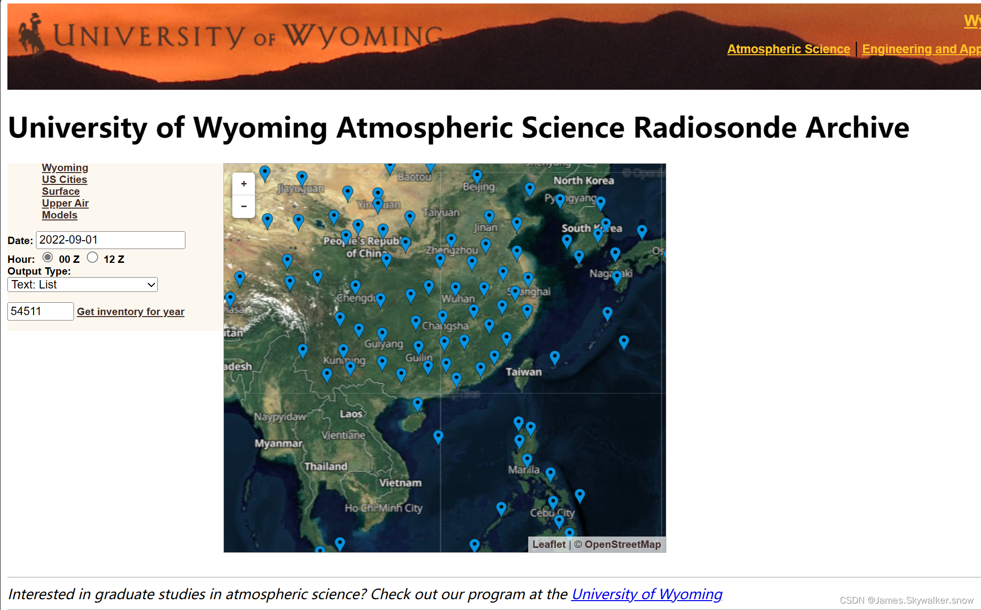
不知道什么原因去除了国内站点的下载地址,幸好有新的网址:University of Wyoming Atmospheric Science Radiosonde Archive (uwyo.edu)
2、下载数据
可参考下述教程,自己编写爬虫下载数据。
 https://blog.csdn.net/lilizhekou/article/details/123766062?spm=1001.2101.3001.6650.4&utm_medium=distribute.pc_relevant.none-task-blog-2%7Edefault%7ECTRLIST%7ERate-4-123766062-blog-106418496.235%5Ev38%5Epc_relevant_default_base3&depth_1-utm_source=distribute.pc_relevant.none-task-blog-2%7Edefault%7ECTRLIST%7ERate-4-123766062-blog-106418496.235%5Ev38%5Epc_relevant_default_base3&utm_relevant_index=5
3、FSL格式
有些软件需要将数据转写为FSL格式,现将格式描述如下,详细的可以参考FSL格式说明文档
3.1写入说明
- (1)控制信息
- 对于数据标示、气球释放时间和质量标识,一律标为空值,对于层特征根据写入的层数判断。
- 对于表1中的黄色部分,写入按对应的说明处理
- (2)数据信息
- 注意单位转换
- 如果露点温度为空值,存在温度和相对湿度则补全该要素。
- 注意LINTYP的写入
3.2FSL格式说明
每个观测信息由控制信息(四行)和数据信息(层数行)
表1 控制信息
| 序号 | 占位符 | 元素 | 单位 | 说明 | 标准格式 |
| 1 | 1-7 | LINTYP | 必须为254 | x | |
| 8-14 | 时 | 必需 | |||
| 15-21 | 日 | 必需 | |||
| 22-30 | 月 | 必需 | |||
| 31-38 | 年 | 占两位,不足不0 | 必需 | ||
| 2 | 1-7 | LINTYP | 必须为1 | x | |
| 8-14 | 站点编号 | 必需 | |||
| 15-21 | 站点编号 | 必需 | |||
| 22-28 | 纬度 | 度分 | 保留两位小数 | 必需 | |
| 29 | N或S | ||||
| 30-35 | 经度 | 度分 | 保留两位小数 | 必需 | |
| 36 | E或W | ||||
| 37-42 | 海拔高度 | 必需 | |||
| 43-49 | 释放时间 | 00时的数据写入2303,12时的数据写入1203 | x | ||
| 3 | 1-7,7 | LINTYP | 必须为2 | x | |
| 8-14,7 | 最高检察层的气压 | 固定为500 | x | ||
| 15-21,7 | 最大风层的气压 | 固定为500 | x | ||
| 22-28,7 | 对流层顶气压 | 固定为500 | x | ||
| 29-35, | 层数 | 必需 | |||
| 36-42,7 | 估算对流层顶标识 | 99999 | x | ||
| 43-49,7 | 数据来源 | 3 | x | ||
| 3 | 1-7 | LINTYP | 必须为3 | x | |
| 15-21 | 标识 | 写入DATA | x | ||
| 43-49 | 风速标识 | x |
注1:LINTYP(在控制信息中LINTYP只能依次等于254、1、2、3)
254=新的观测数据开始,该行写入时间信息
1 =站点标识栏,该行写入站点标识信息
2 =观测检测栏 sounding checks line
3 = 站点识别或者其他标识station identifier and other indicators line
4 = 强制层mandatory level
5 = 重要层significant level
6 = wind level (PPBB) (GTS or merged data)
7 = tropopause level (GTS or merged data)
8 = maximum wind level (GTS or merged data)
9 = 地表面层,仅第一层写入此数,且必须写入。
注2:月份为JAN、FEB、MAR、APR、MAY、JUN、JUL、AUG、SEP、OCT、NOC、DEC。
注3:风速标识,写入时一律写成ms,ms=米/秒,kt=海里/小时。
表2 数据信息
| 元素 | 空值 | 单位 | 占位符 | 说明 | 标准格式 |
| LINTYP | Code | 1-7,7 | 第一行为9 其余行为4 | ||
| 气压 | 99999 | 0.1百帕 | 8-14,7 | 有 | |
| 位势高度(海拔) | 32727 | 米 | 15-21, | 有 | |
| 气温 | 99999 | 0.1摄氏度 | 22-28, | 有 | |
| 露点湿度 | 32727 | 0.1摄氏度 | 29-35, | 有 | |
| 风向 | 99999 | 度 | 36-42, | 有 | |
| 风速 | 99999 | 由风速标识决定 | 43-49 | 有 |
注1:各要素均为整数,不足位数,高位补空格
注2:温度和露点温度均有正负标识
注3:写入时风速单位固定为米/秒
3.3原始说明:
FSL Output Format Description
(FSL Radiosonde Database)

--------------------------------------------------------------------------------


                          FSL Rawinsonde data format

The official FSL data format is similar to the format used by the National
Severe Storms Forecast Center (NSSFC) in Kansas City.  The first 4 lines of
the sounding are identification and information lines. All additional lines
are data lines.  An entry of 32767 (original format) or 99999 (new format)
indicates that the information is either missing, not reported, or not
applicable.

                            ---COLUMN NUMBER---

      1          2          3          4          5          6           7
 LINTYP
                                header lines
    254        HOUR        DAY      MONTH       YEAR    (blank)     (blank)
      1       WBAN#       WMO#        LAT D      LON D     ELEV       RTIME
      2       HYDRO       MXWD      TROPL      LINES     TINDEX      SOURCE
      3     (blank)      STAID    (blank)    (blank)      SONDE     WSUNITS

                                data lines
      9    PRESSURE     HEIGHT       TEMP      DEWPT   WIND DIR    WIND SPD
      4
      5
      6
      7
      8

                                    LEGEND

LINTYP: type of identification line
        254 = indicates a new sounding in the output file
          1 = station identification line
          2 = sounding checks line
          3 = station identifier and other indicators line
          4 = mandatory level
          5 = significant level
          6 = wind level (PPBB) (GTS or merged data)
          7 = tropopause level (GTS or merged data)
          8 = maximum wind level (GTS or merged data)
          9 = surface level

HOUR:   time of report in UTC
LAT:    latitude in degrees and hundredths
LON:    longitude in degrees and hundredths

D:	direction latitude ('N' or 'S') or longitude ('E' or 'W') -note this
		only appears in the online archive containing international
		observations.

ELEV:   elevation from station history in meters
RTIME:  is the release time of radiosonde balloon
HYDRO:  the pressure of the level to where the sounding passes the hydrostatic
        check (see section 4.3).**
MXWD:   the pressure of the level having the maximum wind in the sounding.  If
        within the body of the sounding there is no "8" level then
        MXWN is estimated (see section 3.2).
TROPL:  the pressure of the level containing the tropopause. If within the
        body of the sounding there is no "7" level, then TROPL is estimated
        (see section 3.3)**
LINES:  number of levels in the sounding, including the 4 identification lines.
TINDEX: indicator for estimated tropopause. A "7" indicates that sufficient
        data was available to attempt the estimation; 11 indicates that data
        terminated and that tropopause is a "suspected" tropopause.
SOURCE: 0 = National Climatic Data Center (NCDC)
	1 = Atmospheric Environment Service (AES), Canada
        2 = National Severe Storms Forecast Center (NSSFC)
	3 = GTS or FSL GTS data only
        4 = merge of NCDC and GTS data (sources 2,3 merged into sources 0,1)
SONDE:  type of radiosonde code from TTBB. Only reported with GTS data
        10 = VIZ "A" type radiosonde
        11 = VIZ "B" type radiosonde
        12 = Space data corp.(SDC) radiosonde.
WSUNITS:wind speed units (selected upon output)
        ms = tenths of meters per second
        kt = knots

PRESSURE: in whole millibars (original format)
	  in tenths of millibars (new format)
HEIGHT:   height in meters (m)
TEMP:     temperature in tenths of degrees Celsius
DEWPT:    dew point temperature in tenths of a degree Celsius
WIND DIR: wind direction in degrees
WIND SPD: wind speed in either knots or tenths of a meter per second
          (selected by user upon output)

An example of fortran format statements necessary to read output rawinsonde
data, according to LINTYP, is as follows:

                    LINTYP
                       254    (3i7,6x,a4,i7)
                         1    (3i7,f7.2,a1,f6.2,a1,i6,i7)
                         2    (7i7)
                         3    (i7,10x,a4,14x,i7,5x,a2)
               4,5,6,7,8,9    (7i7)


Note the format descriptor for LINTYP=1 has changed to conform with the
CDROM archive.

**- section of noaa tech memo on the data base (in print)


 TECHNICAL INFORMATION: Schwartz, B.E., and M. Govett, 1992: "A hydrostatically
  consistent North American Radiosonde Data Base at the forecast Systems
  Laboratory, 1946-present." NOAA Technical Memorandum ERL FSL-4. Available
  from NOAA/ERL/FSL 325 Broadway, Boulder, CO 80303.


--------------------------------------------------------------------------------
Begin RAOB database request
Prepared by Mark Govett, Mark.W.Govett@noaa.gov, ; and Bill Moninger William.R.Moninger@noaa.gov


 1万+
1万+

 被折叠的 条评论
为什么被折叠?
被折叠的 条评论
为什么被折叠?
 到【灌水乐园】发言


