


 、
、
一.最基础的地图覆盖物
1>画圈 BMKCircle
2>画线BMKPolyline
3>画多边形BMKPolygon
至于判断点是否在圈内系统提供了方法 这里不再赘述
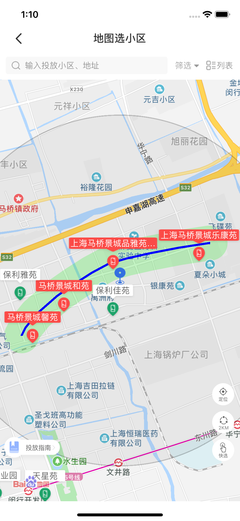
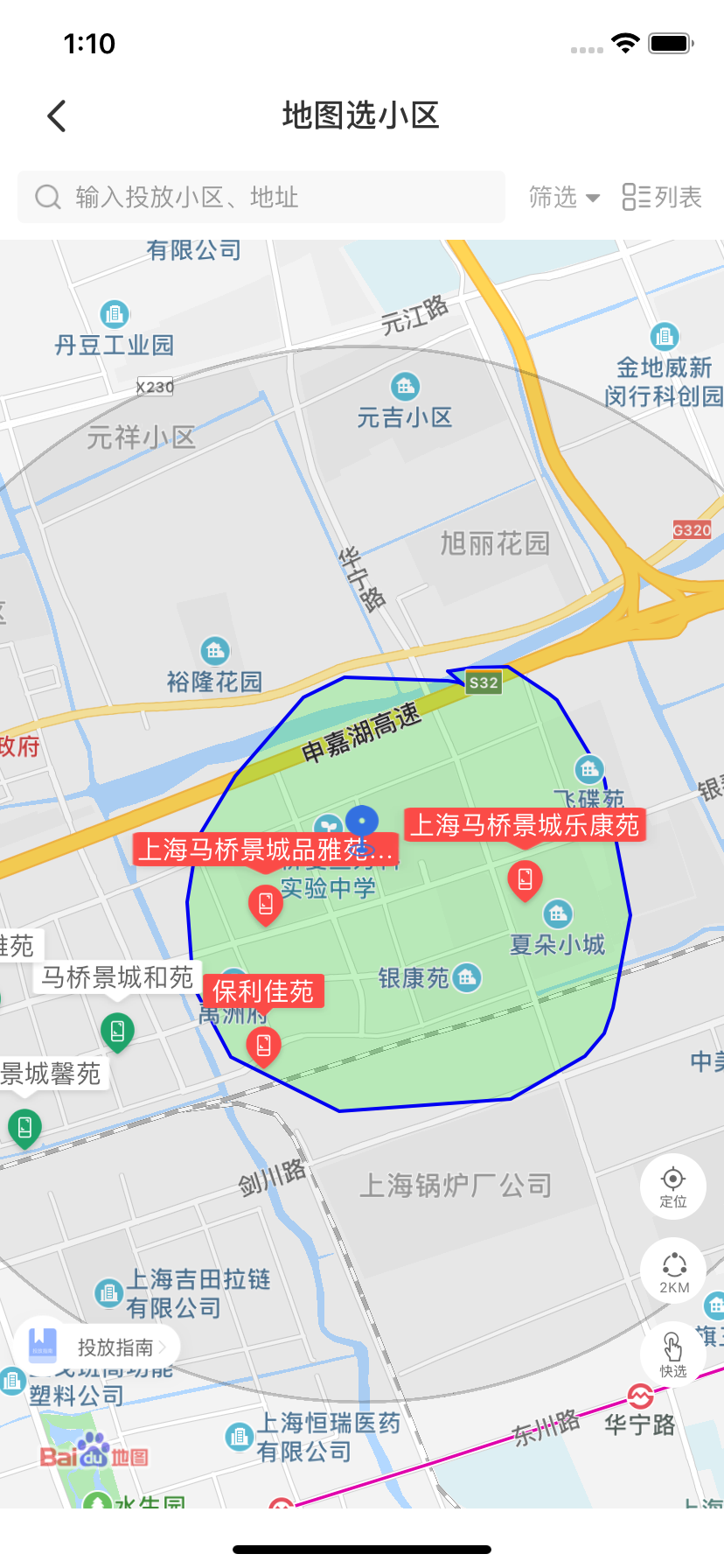
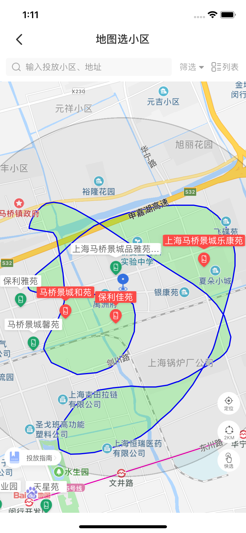
二、这里主要说BMKGroundOverlay(CAShapeLayer+UIBezierPath)
#pragma mark -开始圈选
-(void)startCircleSelect{
    if (self.touchView==nil) {
        self.touchView = [[UIView alloc]initWithFrame:CGRectMake(0, 0, self.mapView.width, self.mapView.height)];
        self.touchView.backgroundColor = [[UIColor blackColor] colorWithAlphaComponent:0.2];
         [self.mapView addSubview:self.touchView];
    }
}

- (void)touchesBegan:(NSSet<UITouch *> *)touches withEvent:(UIEvent *)event{
    //移除点位的所有数据
    [self.coor2dArray removeAllObjects];


}

- (void)touchesMoved:(NSSet<UITouch *> *)touches withEvent:(UIEvent *)event
{
//self.touchView 是画板的view 大小等于 地图的大小
    if (self.touchView==nil) {
        return;
    }
    UITouch *touch = [touches anyObject];
    CGPoint point = [touch locationInView:self.touchView];
   //将触摸点 point 转换为经纬度坐标
    CLLocationCoordinate2D pointCoor2d=  [self.mapView convertPoint:point toCoordinateFromView:self.touchView];

    ZTOverlayModel  *tempModel = [[ZTOverlayModel alloc]init];
    tempModel.point = point;
    tempModel.coor2d = pointCoor2d;
    //数据去重
    if(self.coor2dArray.count==0){
        [self.coor2dArray addObject:tempModel];

    }else{
        ZTOverlayModel *lastModel = self.coor2dArray.lastObject;

        if (lastModel.coor2d.longitude != pointCoor2d.longitude  || lastModel.coor2d.latitude != pointCoor2d.latitude) {
            [self.coor2dArray addObject:tempModel];
        }
    }
//画一条地图上的BMKPolyline 线型覆盖物
    NSInteger size = [self.coor2dArray count];
    //大于三的时候才添加
    if (size >= 3) {
        //动态分配数组
        CLLocationCoordinate2D * coords = (CLLocationCoordinate2D *)malloc(sizeof(CLLocationCoordinate2D)*size);//size就是数组的大小
 最低0.47元/天 解锁文章


 8747
8747


 被折叠的 条评论
为什么被折叠?
被折叠的 条评论
为什么被折叠?
 到【灌水乐园】发言


