


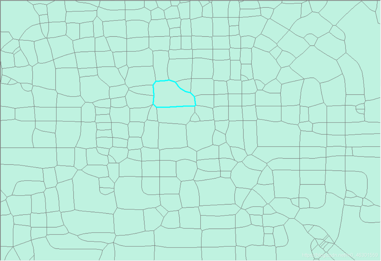
本文以北京路网为数据基础,基于ArcMap实现北京TAZ的构建。
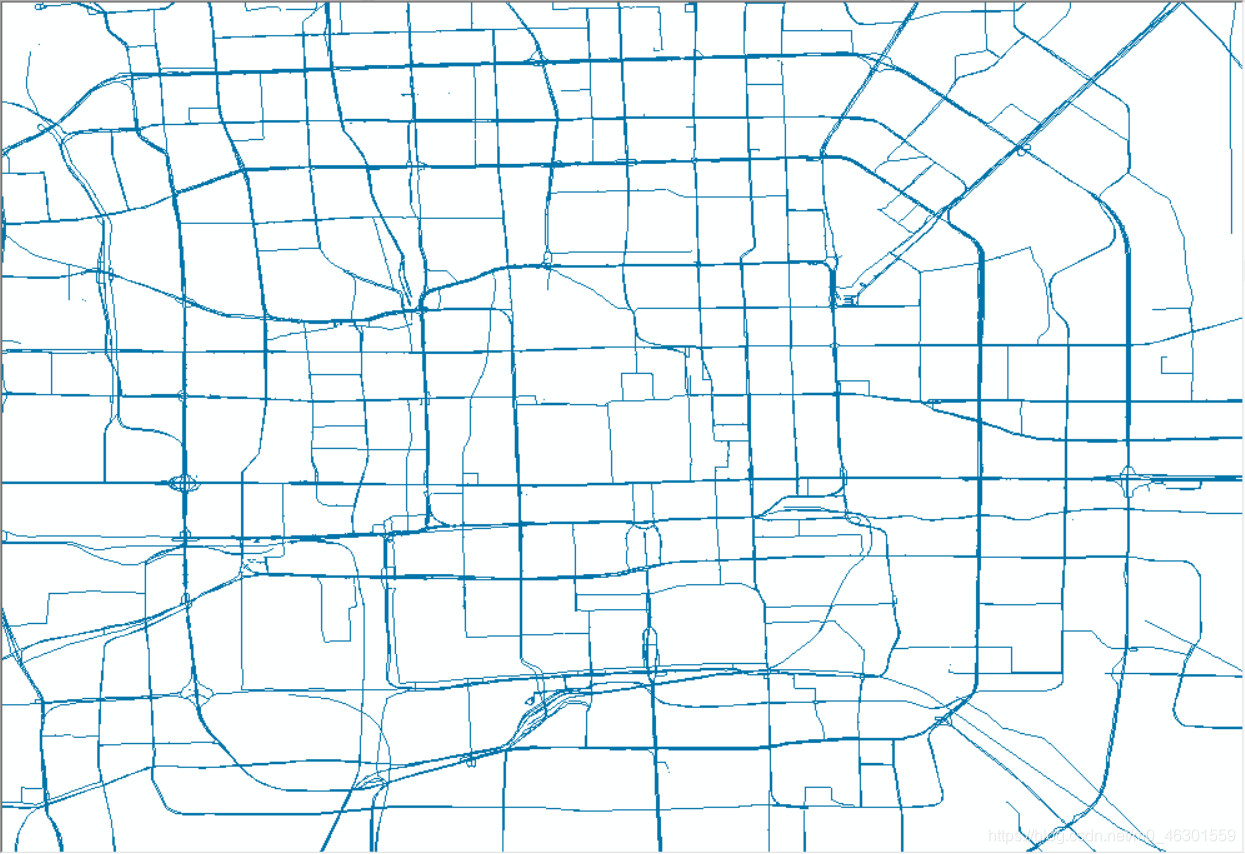
(a)Original
示例数据为OSM的multilinestrings图层。
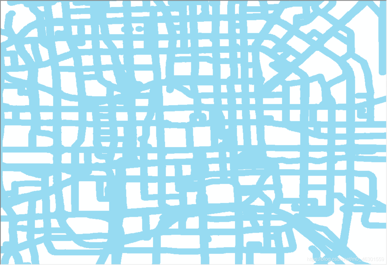
(b)Dilation
采用buffer工具。参数设置为,Linear unit:100m,其它参数为默认。
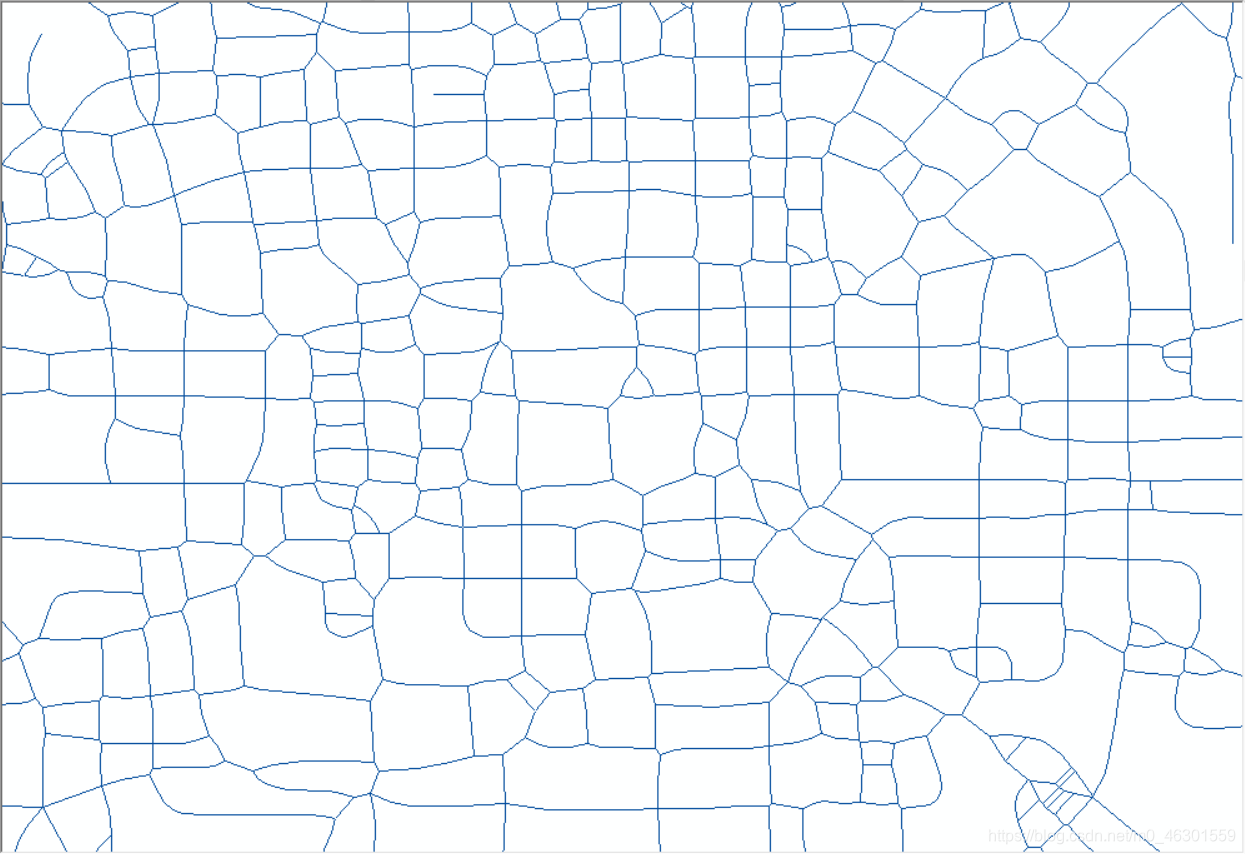
(c)thining
1、将Dilation步骤得到的shp图导出tif文件。
需勾选Write World File,颜色模式为:1-bit Monochrome Threshold。
2、导入tif文件,将图像二值化(Properties>>Symbology>>Classified>>Apply)。
3、ArcScan提取中心线 (此前需要新建一个线要素类,并在此图层上开启编辑)
(Customize>>Tool bars>>ArcScan>>show preview),此前需在拓展工具中启用ArcScan,在此图层新建shp文件,并开始编辑。
(d)TAZ
通过feature to polygon工具即得TAZ。


 7413
7413

 被折叠的 条评论
为什么被折叠?
被折叠的 条评论
为什么被折叠?
 到【灌水乐园】发言


