


在 OpenLayers 中实现测量工具:实现距离和面积测量功能的最佳实践
目录
一、引言
在 Web GIS 应用中,测量工具是不可或缺的功能之一。它允许用户在地图上测量两点之间的距离或绘制多边形来计算面积。通过在 OpenLayers 中实现这些工具,开发者可以提高地图的交互性和实用性。本文将详细介绍如何在 Vue 单页面应用中使用 OpenLayers 实现距离和面积测量功能。
二、测量工具在地图应用中的作用
测量工具可以显著提升地图应用的功能性,使用户可以在地图上获取更具体的信息。以下是主要的测量工具功能:
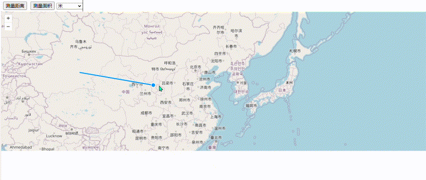
测量距离
用户可以在地图上选择两个点以测量它们之间的直线距离,适用于导航和地理分析。
多段距离测量
支持用户点击多个点以绘制路径并测量其总长度,适用于复杂路径和路线分析。
面积测量
用户可以绘制多边形以测量其面积,适用于土地测量和面积计算。
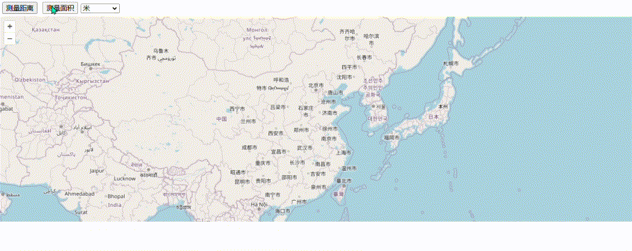
单位切换功能
用户可以根据需求在不同单位之间切换(如米、公里、英里、平方公里等),提供更灵活的测量结果显示。
实时测量更新
在用户绘制路径或多边形的过程中实时更新测量结果,让用户在绘制时即可看到测量信息。
三、OpenLayers 测量工具实现方法
在 OpenLayers 中,测量工具主要通过 ol/interaction/Draw 交互来实现,配合 ol/sphere 模块可以计算几何图形的长度和面积。开发者可以在 Vue 组件中封装这些功能,使应用更具交互性和可扩展性。
四、代码实现步骤
1. 初始化地图
首先,创建一个基础的 OpenLayers 地图实例,并添加基础图层和视图。
import 'ol/ol.css';
import Map from 'ol/Map';
import View from 'ol/View';
import TileLayer from 'ol/layer/Tile';
import VectorLayer from 'ol/layer/Vector';
import VectorSource from 'ol/source/Vector';
import OSM from 'ol/source/OSM';
import { fromLonLat } from 'ol/proj';

export default {
  name: 'MeasurementTool',
  data() {
    return {
      map: null,
      view: null,
      vectorSource: null,
    };
  },
  mounted() {
    this.initMap();
  },
  methods: {
    initMap() {
      this.vectorSource = new VectorSource();

      const vectorLayer = new VectorLayer({
        source: this.vectorSource,
        style: {
          stroke: { color: 'rgba(0, 0, 255, 0.8)', width: 2 },
          fill: { color: 'rgba(0, 0, 255, 0.2)' },
        },
      });

      this.view = new View({
        center: fromLonLat([0, 0]),
        zoom: 2,
      });

      this.map = new Map({
        target: this.$refs.mapContainer,
        layers: [
          new TileLayer({ source: new OSM() }),
          vectorLayer,
        ],
        view: this.view,
      });
    },
  },
};
2. 实现测量功能
为地图添加 Draw 交互,以实现距离和面积测量功能。
import { Draw } from 'ol/interaction';
import { getArea, getLength } from 'ol/sphere';

methods: {
  toggleMeasurement(type) {
    if (this.draw) {
      this.map.removeInteraction(this.draw);
      this.draw = null;
    }

    this.draw = new Draw({
      source: this.vectorSource,
      type: type,
    });

    this.draw.on('drawend', (event) => {
      const feature = event.feature;
      if (type === 'LineString') {
        const length = getLength(feature.getGeometry());
        this.measurementResult = this.formatLength(length);
      } else if (type === 'Polygon') {
        const area = getArea(feature.getGeometry());
        this.measurementResult = this.formatArea(area);
      }
    });

    this.draw.on('drawstart', () => {
      this.vectorSource.clear();
      this.measurementResult = '';
    });

    this.map.addInteraction(this.draw);
  },
},
3. 距离和面积格式化函数
实现长度和面积结果的格式化显示。
methods: {
  formatLength(length) {
    let result;
    if (this.selectedUnit === 'm') {
      result = `${length.toFixed(2)} 米`;
    } else if (this.selectedUnit === 'km') {
      result = `${(length / 1000).toFixed(2)} 公里`;
    } else if (this.selectedUnit === 'mi') {
      result = `${(length / 1609.34).toFixed(2)} 英里`;
    }
    return result;
  },
  formatArea(area) {
    let result;
    if (this.selectedUnit === 'sqkm') {
      result = `${(area / 1000000).toFixed(2)} 平方公里`;
    } else if (this.selectedUnit === 'sqmi') {
      result = `${(area / 2589988.11).toFixed(2)} 平方英里`;
    } else {
      result = `${area.toFixed(2)} 平方米`;
    }
    return result;
  },
},
4. 单位切换与实时更新
在用户选择不同单位时实时更新测量结果。
methods: {
  updateMeasurement() {
    if (this.vectorSource.getFeatures().length > 0) {
      const feature = this.vectorSource.getFeatures()[0];
      if (feature.getGeometry().getType() === 'LineString') {
        const length = getLength(feature.getGeometry());
        this.measurementResult = this.formatLength(length);
      } else if (feature.getGeometry().getType() === 'Polygon') {
        const area = getArea(feature.getGeometry());
        this.measurementResult = this.formatArea(area);
      }
    }
  },
},
五、总结
通过在 OpenLayers 中实现距离和面积测量工具,您可以为用户提供更丰富的地图功能。结合多段测量、实时更新和单位切换功能,开发者可以根据用户需求扩展和调整测量工具,提高地图应用的用户体验和实用性。


 947
947

 被折叠的 条评论
为什么被折叠?
被折叠的 条评论
为什么被折叠?
 到【灌水乐园】发言


