


Flex开发ArcGIS问题集锦四:怎样显示地图(简单小例子)
代码如下:
<?xml version="1.0" encoding="utf-8"?>
<s:Application xmlns:fx="http://ns.adobe.com/mxml/2009"
xmlns:s="library://ns.adobe.com/flex/spark"
xmlns:mx="library://ns.adobe.com/flex/mx" minWidth="955" minHeight="600" xmlns:esri="http://www.esri.com/2008/ags">
<fx:Declarations>
<!-- 将非可视元素(例如服务、值对象)放在此处 -->
</fx:Declarations>
<esri:Map crosshairVisible="true">
<esri:ArcGISTiledMapServiceLayer url="http://server.arcgisonline.com/ArcGIS/rest/services/ESRI_StreetMap_World_2D/MapServer" />
</esri:Map>
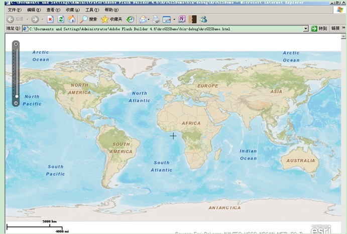
</s:Application>效果如下:


 被折叠的 条评论
为什么被折叠?
被折叠的 条评论
为什么被折叠?
 到【灌水乐园】发言


