


首先想说的是我也是刚刚接触openlayers,因为公司的需求所以开始学习openlayers,刚开始想学openlayers2,但是试过几次发现openlayers2的浏览效果不好,还存在一些浏览卡顿不流畅等问题,于是我转向openlayers3,发现openlayers3确实在效果上好了很多,但是openlayers3在很多语法方面做了较大调整。由于我也是刚刚接触ol3,所以做出的功能也许不多,但后续有新的进展我还会继续跟大家分享,今天就简单介绍一下怎么加载图标,并且定位到图标,还有就是让图标位于屏幕中央以及地图旋转这几个小功能。
首先废话不多说,先上能够运行的代码。
首先是界面:
<!DOCTYPE html>
<html>
  <head>
    <title>Accessible Map</title>
    <meta http-equiv="Content-Type" content="text/html; charset=utf-8" />
    <link rel="stylesheet" href="http://openlayers.org/en/v3.16.0/css/ol.css" type="text/css">
    <script src="http://openlayers.org/en/v3.16.0/build/ol.js"></script>

     <script type="text/javascript" src="js/jquery-1.11.1.js"></script>
    <script src="./js/base.js"></script>
    <script src="./js/ol-deps.js"></script>
    <script src="./js/bing-maps-require.js"></script>
    <style>
      a.skiplink {
        position: absolute;
        clip: rect(1px, 1px, 1px, 1px);
        padding: 0;
        border: 0;
        height: 1px;
        width: 1px;
        overflow: hidden;
      }
      a.skiplink:focus {
        clip: auto;
        height: auto;
        width: auto;
        background-color: #fff;
        padding: 0.3em;
      }
      #map:focus {
        outline: #4A74A8 solid 0.15em;
      }
    </style>
  </head>
  <body>
    <div style="height:100%;width:100%;" id="map" class="map" tabindex="0"></div>
    <select id="select_ditu"><option value="天地图">天地图</option><option value="卫星图">卫星图</option></select>

    <input id="flyto" type="button" value="定位到中间"/>
 <script type="text/javascript" src="js/map_add.js"></script>
    <script type="text/javascript">
        $('#select_ditu').change(function(){
            changeLayer($('#select_ditu').val());
        });
    </script>
  </body>
</html> var attribution = new ol.Attribution({
html: '? <a href="http://www.chinaonmap.com/map/index.html">���ͼ</a>'
});
var coor = ol.proj.transform([116.40969, 39.89945], 'EPSG:4326', 'EPSG:3857');
var view = new ol.View({
center: coor,
zoom: 13
});
var layers=[];
layers.push(
new ol.layer.Tile({
source: new ol.source.XYZ({
attributions: [attribution],
url: "http://t2.tianditu.com/DataServer?T=vec_w&x={x}&y={y}&l={z}"
})
})
);
layers.push(new ol.layer.Tile({
source: new ol.source.XYZ({
url: "http://t2.tianditu.com/DataServer?T=cva_w&x={x}&y={y}&l={z}"
})
}));
var styles = [
'Road',
'Aerial',
'AerialWithLabels',
'collinsBart',
'ordnanceSurvey'
];
var i, ii;
for (i = 0, ii = styles.length; i < ii; ++i) {
layers.push(new ol.layer.Tile({
visible: false,
preload: Infinity,
source: new ol.source.BingMaps({
key: 'AkGbxXx6tDWf1swIhPJyoAVp06H0s0gDTYslNWWHZ6RoPqMpB9ld5FY1WutX8UoF',
imagerySet: 'Aerial'
// use maxZoom 19 to see stretched tiles instead of the BingMaps
// "no photos at this zoom level" tiles
// maxZoom: 19
})
}));
}
var map = new ol.Map({
layers: layers,
loadTilesWhileInteracting: true,
target: 'map',
view: view
});
//layers[0].setVisible(false);
//layers[1].setVisible(false);
//layers[2].setVisible(true);
layers[0].setVisible(true);
layers[1].setVisible(true);
for (var i=2; i < layers.length; i++) {
layers[i].setVisible(false);
};
map.on('pointermove',function(e){
var coord = e.coordinate;
var degrees = ol.proj.transform(coord, 'EPSG:3857','EPSG:4326');
var hdms = ol.coordinate.toStringXY(degrees, 8);
//var element = overlay.getElement();
//element.innerHTML = hdms;
$('#longlat').text(hdms);
//overlay.setPosition(coord);
//map.addOverlay(overlay);
});
var addresult=addIcon([0,0]);
map.on('click',function(e){
var coord = e.coordinate;
var degrees = ol.proj.transform(coord, 'EPSG:3857','EPSG:4326');
//alert(degrees[0]);
$('#text_longtitude').val(degrees[0]);
$('#text_latitude').val(degrees[1]);
//addresult.sourceVector.removeFeature(addresult.feature);
//addresult=addIcon(coord);
var geometry=new ol.geom.Point(coord);
addresult.feature.setGeometry(geometry);
addresult.point=coord;
});
function changeLayer(layer){
if(layer=="天地图"){
layers[0].setVisible(true);
layers[1].setVisible(true);
for (var i=2; i < layers.length; i++) {
layers[i].setVisible(false);
};
}else if(layer=="卫星图"){
layers[0].setVisible(false);
layers[1].setVisible(false);
for (var i=2; i < layers.length; i++) {
layers[i].setVisible(true);
};
}
}
function addIcon(coord){
var iconFeature = new ol.Feature({
geometry: new ol.geom.Point(coord),
name: 'Null Island',
//population: 4000,
//rainfall: 500
});
var iconStyle = new ol.style.Style({
image: new ol.style.Icon(/** @type {olx.style.IconOptions} */ ({
anchor: [0.5, 1],
//anchorXUnits: 'fraction',
//anchorYUnits: 'pixels',
src: 'imgs/dingwei.png'
}))
});
iconStyle.getImage().setScale(0.3);
iconFeature.setStyle(iconStyle);
var vectorSource = new ol.source.Vector({
features: [iconFeature]
});
var vectorLayer = new ol.layer.Vector({
source: vectorSource
});
map.addLayer(vectorLayer);
return {feature:iconFeature,layer:vectorLayer,sourceVector:vectorSource,point:coord};
}
function moveFeature(event) {
var vectorContext = event.vectorContext;
var frameState = event.frameState;
var currentPoint = new ol.geom.Point(routeCoords[index]);
var feature = new ol.Feature(currentPoint);
vectorContext.drawFeature(feature, iconFeature);
// tell OL3 to continue the postcompose animation
map.render();
};
$(document).ready(function(){
$('#u52_img').click(function() {
view.centerOn(addresult.point,[$('map').width(),$('map').height()],[$('map').width()/2,$('map').height()/2]);
});
});
$('#flyto').click(function() {
//flyto(addresult.point);
rotate(-2);
});
function flyto(coord){
var duration = 2000;
var start = +new Date();
var pan = ol.animation.pan({
duration: duration,
source: /** @type {ol.Coordinate} */ (view.getCenter()),
start: start
});
var bounce = ol.animation.bounce({
duration: duration,
resolution: 4 * view.getResolution(),
start: start
});
map.beforeRender(pan, bounce);
view.setCenter(coord);
}
function moveto(coord){
var pan = ol.animation.pan({
duration: 2000,
source: /** @type {ol.Coordinate} */ (view.getCenter())
});
map.beforeRender(pan);
view.setCenter(coord);
}
function rotate(degree){ //degre为pi的倍数,负数顺时针,正数逆时针
var rotate = ol.animation.rotate({
duration: 2000,
rotation: degree* Math.PI
});
map.beforeRender(rotate);
}
以上代码为全部代码,功能上跟大家分不分介绍一下:
我这个程序里面加载了两种地图,一种是天地图,一种是必应的卫星图(因为感觉这个经度较高,也是找了好久才找到)。
加载天地图的主要程序大概如下:
var attribution = new ol.Attribution({
        html: '? <a href="http://www.chinaonmap.com/map/index.html">���ͼ</a>'
    });
    var coor = ol.proj.transform([116.40969, 39.89945], 'EPSG:4326', 'EPSG:3857');
    var view = new ol.View({
        center: coor,
        zoom: 13
    });
    var layers=[];
    layers.push(
            new ol.layer.Tile({
                source: new ol.source.XYZ({
                    attributions: [attribution],
                    url: "http://t2.tianditu.com/DataServer?T=vec_w&x={x}&y={y}&l={z}"
                })
            })
           );
      layers.push(new ol.layer.Tile({
                source: new ol.source.XYZ({
                    url: "http://t2.tianditu.com/DataServer?T=cva_w&x={x}&y={y}&l={z}"
                })
})); var styles = [
'Road',
'Aerial',
'AerialWithLabels',
'collinsBart',
'ordnanceSurvey'
];
var i, ii;
for (i = 0, ii = styles.length; i < ii; ++i) {
layers.push(new ol.layer.Tile({
visible: false,
preload: Infinity,
source: new ol.source.BingMaps({
key: 'AkGbxXx6tDWf1swIhPJyoAVp06H0s0gDTYslNWWHZ6RoPqMpB9ld5FY1WutX8UoF',
imagerySet: 'Aerial'
// use maxZoom 19 to see stretched tiles instead of the BingMaps
// "no photos at this zoom level" tiles
// maxZoom: 19
})
}));
}var map = new ol.Map({
layers: layers,
loadTilesWhileInteracting: true,
target: 'map',
view: view
}); map.on('pointermove',function(e){
var coord = e.coordinate;
var degrees = ol.proj.transform(coord, 'EPSG:3857','EPSG:4326');
var hdms = ol.coordinate.toStringXY(degrees, 8);
//var element = overlay.getElement();
//element.innerHTML = hdms;
$('#longlat').text(hdms);
//overlay.setPosition(coord);
//map.addOverlay(overlay);
});var addresult=addIcon([0,0]);
function addIcon(coord){
var iconFeature = new ol.Feature({
geometry: new ol.geom.Point(coord),
name: 'Null Island',
//population: 4000,
//rainfall: 500
});
var iconStyle = new ol.style.Style({
image: new ol.style.Icon(/** @type {olx.style.IconOptions} */ ({
anchor: [0.5, 1],
//anchorXUnits: 'fraction',
//anchorYUnits: 'pixels',
src: 'imgs/dingwei.png'
}))
});
iconStyle.getImage().setScale(0.3);
iconFeature.setStyle(iconStyle);
var vectorSource = new ol.source.Vector({
features: [iconFeature]
});
var vectorLayer = new ol.layer.Vector({
source: vectorSource
});
map.addLayer(vectorLayer);
return {feature:iconFeature,layer:vectorLayer,sourceVector:vectorSource,point:coord};
}
map.on('click',function(e){
         var coord = e.coordinate;
         var degrees = ol.proj.transform(coord, 'EPSG:3857','EPSG:4326');
         //alert(degrees[0]);
         $('#text_longtitude').val(degrees[0]);
         $('#text_latitude').val(degrees[1]);
         //addresult.sourceVector.removeFeature(addresult.feature);
         //addresult=addIcon(coord);
         var geometry=new ol.geom.Point(coord);
         addresult.feature.setGeometry(geometry);
         addresult.point=coord;
    });
接下来,改变显示的地图是天地图还是必应卫星图的函数为:
  function changeLayer(layer){
         if(layer=="天地图"){
             layers[0].setVisible(true);
             layers[1].setVisible(true);
             for (var i=2; i < layers.length; i++) {
               layers[i].setVisible(false);
             };
         }else if(layer=="卫星图"){
             layers[0].setVisible(false);
             layers[1].setVisible(false);
             for (var i=2; i < layers.length; i++) {
               layers[i].setVisible(true);
             };
         }
     }
定位到中点的函数(起始还有别的方法):
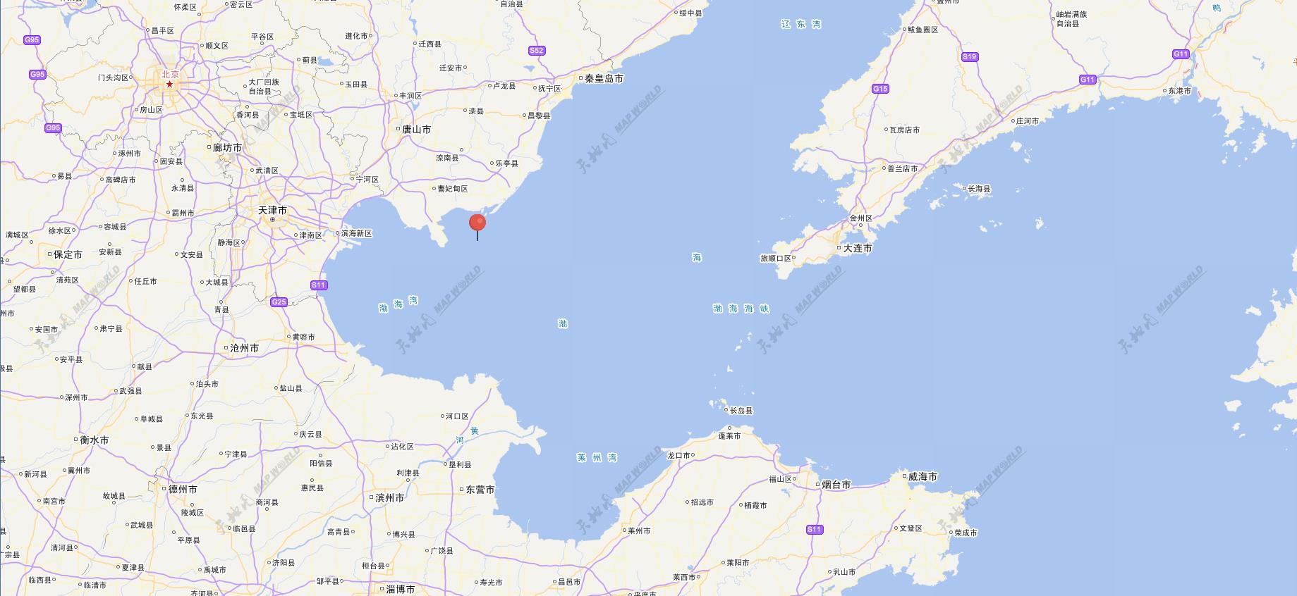
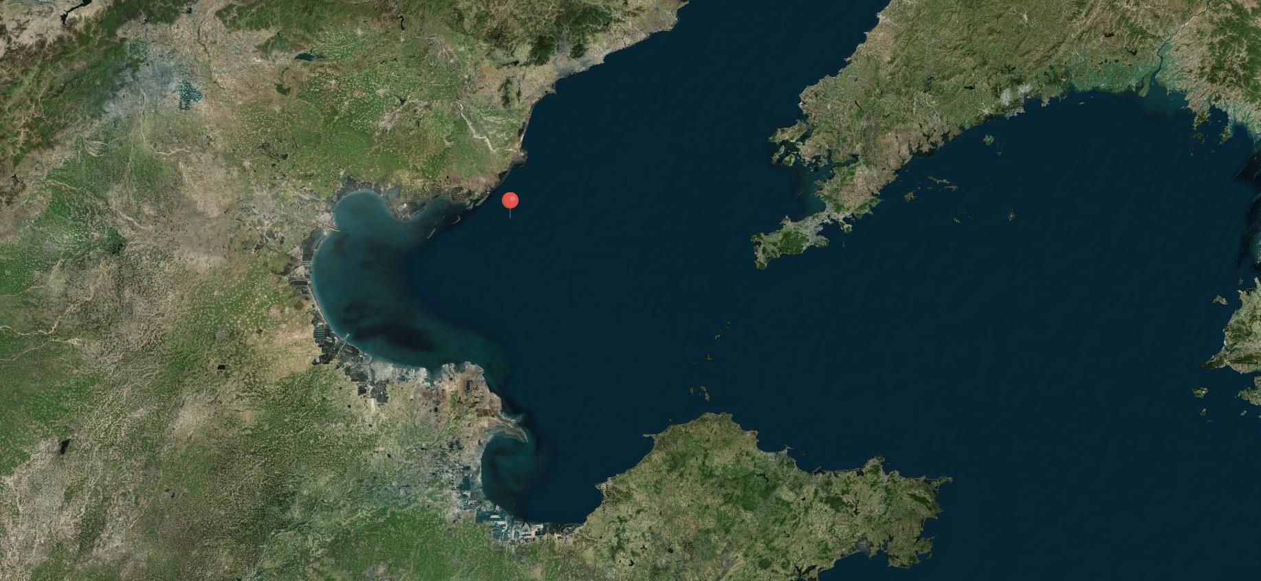
view.centerOn(addresult.point,[$('map').width(),$('map').height()],[$('map').width()/2,$('map').height()/2]);最后贴上几张图:


 1702
1702


 被折叠的 条评论
为什么被折叠?
被折叠的 条评论
为什么被折叠?
 到【灌水乐园】发言


