


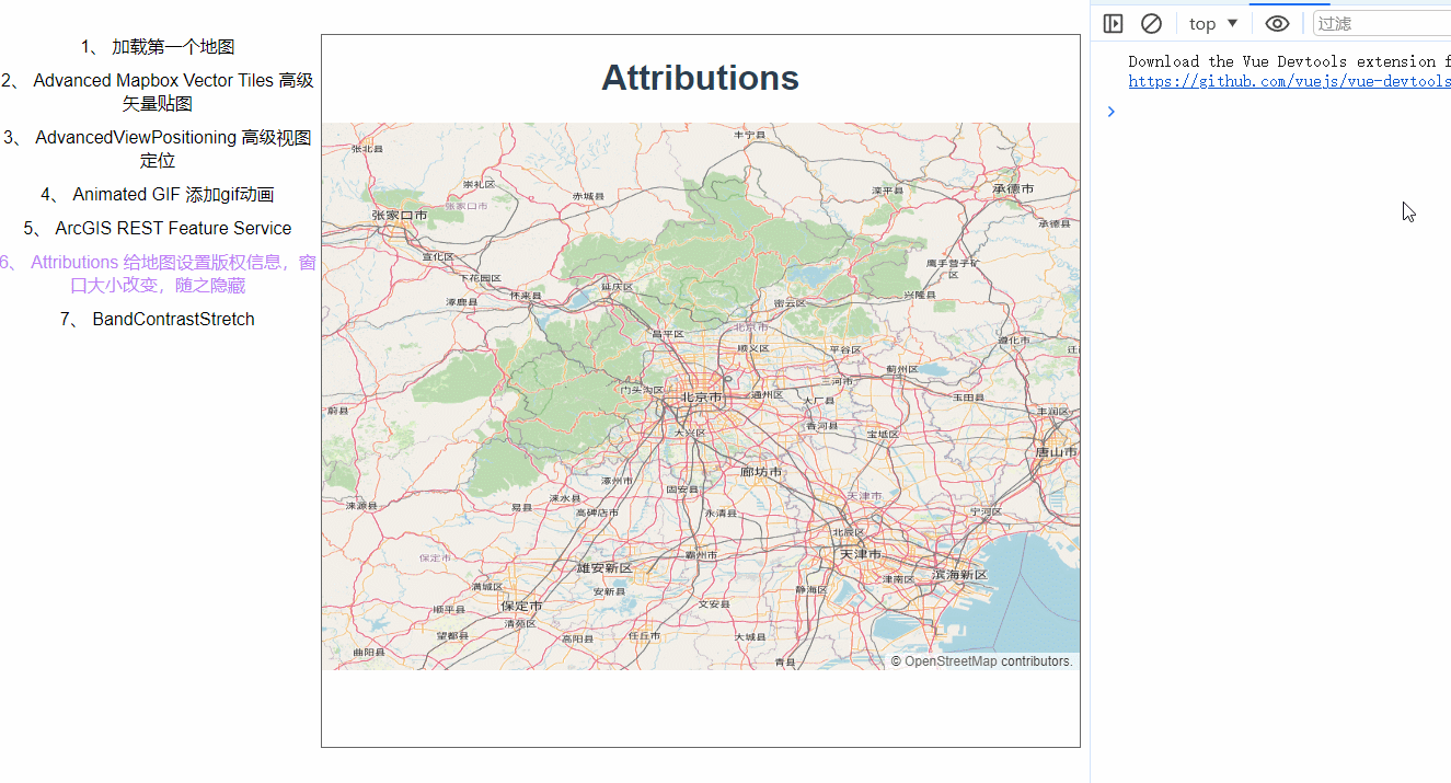
今天来写个简单的例子。
在地图上添加版权信息,地图容器大小小于600就隐藏,大于600才显示。
首先是加载底图。
controls是地图上的默认控件,可以都设置为false,原本的attribution也设置为false
let osmLayer = new TileLayer({
source: new OSM({
}),
zIndex: 1,
});
const map = new Map({
layers: [osmLayer],
target: "map_id",
view: new View({
projection: "EPSG:4326",
center: [116.389, 39.903],
zoom: 8,
}),
controls: defaultControls({
attribution: false,
zoom: false,
rotate: false,
}),
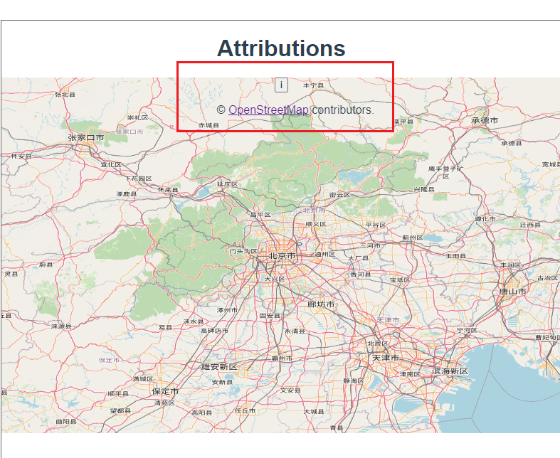
});然后自己来创建一个Attribution,collapsible表示是否折叠。
 const attribution = new Attribution({
      collapsible: false,
    });
再加到地图上
map.addControl(attribution)地图监听一个事件
map.on("change:size", checkSize);
function checkSize() {
      const small = map.getSize()[0] < 600;
      attribution.setCollapsible(small);
      attribution.setCollapsed(small);
}
 checkSize();
就可以看到效果了,注意看右下角。
这里有个小坑,一开始我没有引入ol的样式文件,然后怎么设置都不成功,一直是这样。
 所以要在main.js里加上ol样式的引入,大家记得引入哦,不要学我。
import "ol/ol.css";完整代码:
<template>
  <div class="box">
    <h1>Attributions</h1>
    <div id="map_id"></div>
  </div>
</template>

<script>
import Map from "ol/Map.js";
import OSM from "ol/source/OSM.js";
import TileLayer from "ol/layer/Tile.js";
import View from "ol/View.js";
import { Attribution, defaults as defaultControls } from "ol/control.js";
export default {
  name: "",
  components: {},
  data() {
    return {
      map: null,
    };
  },
  computed: {},
  created() {},
  mounted() {
    let osmLayer = new TileLayer({
      source: new OSM({}),
      zIndex: 1,
    });
    const map = new Map({
      layers: [osmLayer],
      target: "map_id",
      view: new View({
        projection: "EPSG:4326",
        center: [116.389, 39.903],
        zoom: 8,
      }),
      controls: defaultControls({
        attribution: false,
        zoom: false,
        rotate: false,
      }),
    });
    const attribution = new Attribution({
      collapsible: false,
    });
    map.addControl(attribution);
    function checkSize() {
      const small = map.getSize()[0] < 600;
      attribution.setCollapsible(small);
      attribution.setCollapsed(small);
    }

    map.on("change:size", checkSize);
    checkSize();
  },
  methods: {},
};
</script>

<style lang="scss" scoped>
#map_id {
  width: 100%;
  height: 500px;
}
.box {
  height: 100%;
}
</style>


 47
47

 被折叠的 条评论
为什么被折叠?
被折叠的 条评论
为什么被折叠?
 到【灌水乐园】发言


