


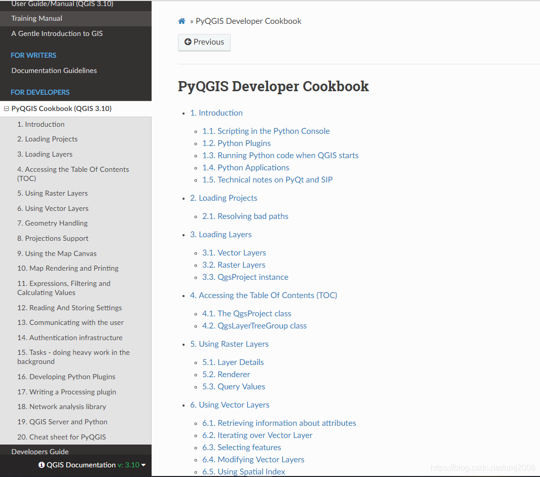
Python插件:https://docs.qgis.org/3.10/en/docs/pyqgis_developer_cookbook/
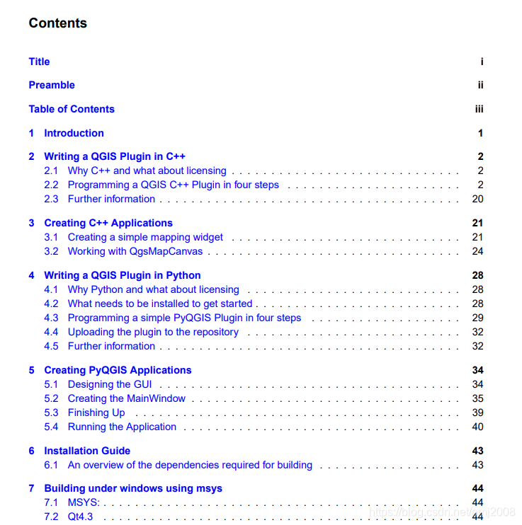
C++插件开发(嵌入式):dll如何编译和加载https://github.com/ranchodeluxe/qgis_cpp_plugin_cookbook
QGIS和ArcGIS对比:
QGIS是免费开源的,而且功能越来越强大。
Python开发:https://qgis.org/pyqgis/3.10/
C++开发:https://qgis.org/api/3.10/
以上四种开发方式:


 7850
7850

 被折叠的 条评论
为什么被折叠?
被折叠的 条评论
为什么被折叠?
 到【灌水乐园】发言


