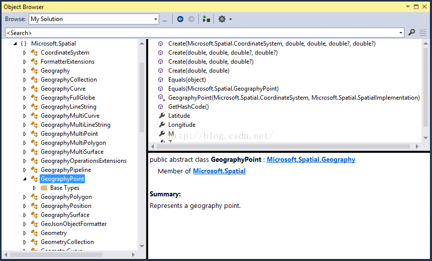
| Edm.Geography | Abstract base type for all Geography types |
| Edm.GeographyPoint | A point in a round-earth coordinate system |
| Edm.GeographyLineString | Line string in a round-earth coordinate system |
| Edm.GeographyPolygon | Polygon in a round-earth coordinate system |
| Edm.GeographyMultiPoint | Collection of points in a round-earth coordinate system |
| Edm.GeographyMultiLineString | Collection of line strings in a round-earth coordinate system |
| Edm.GeographyMultiPolygon | Collection of polygons in a round-earth coordinate system |
| Edm.GeographyCollection | Collection of arbitrary Geography values |
| Edm.Geometry | Abstract base type for all Geometry types |
| Edm.GeometryPoint | Point in a flat-earth coordinate system |
| Edm.GeometryLineString | Line string in a flat-earth coordinate system |
| Edm.GeometryPolygon | Polygon in a flat-earth coordinate system |
| Edm.GeometryMultiPoint | Collection of points in a flat-earth coordinate system |
| Edm.GeometryMultiLineString | Collection of line strings in a flat-earth coordinate system |
| Edm.GeometryMultiPolygon | Collection of polygons in a flat-earth coordinate system |
| Edm.GeometryCollection | Collection of arbitrary Geometry values |


 615
615


 被折叠的 条评论
为什么被折叠?


