


PostgreSQL+PostGIS离线安装
下载地址
注:下载的postgresql版本是15.1.1,对应的postgis也是15那个版本的
PostgreSQL下载地址:https://www.enterprisedb.com/downloads/postgres-postgresql-downloads

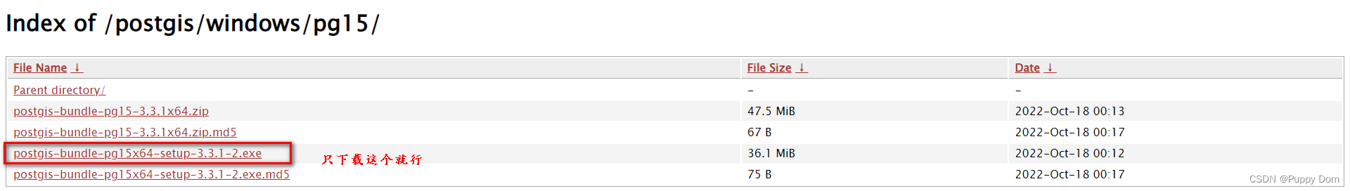
PostGIS下载地址:http://download.osgeo.org/postgis/windows/pg15/
PostgreSQL安装(已经有很多人写过了)
可以参考这个:PostgreSQL+PostGIS安装教程_Oruizn的博客-CSDN博客_postgresql安装postgis
1.双击下载的.exe安装,next
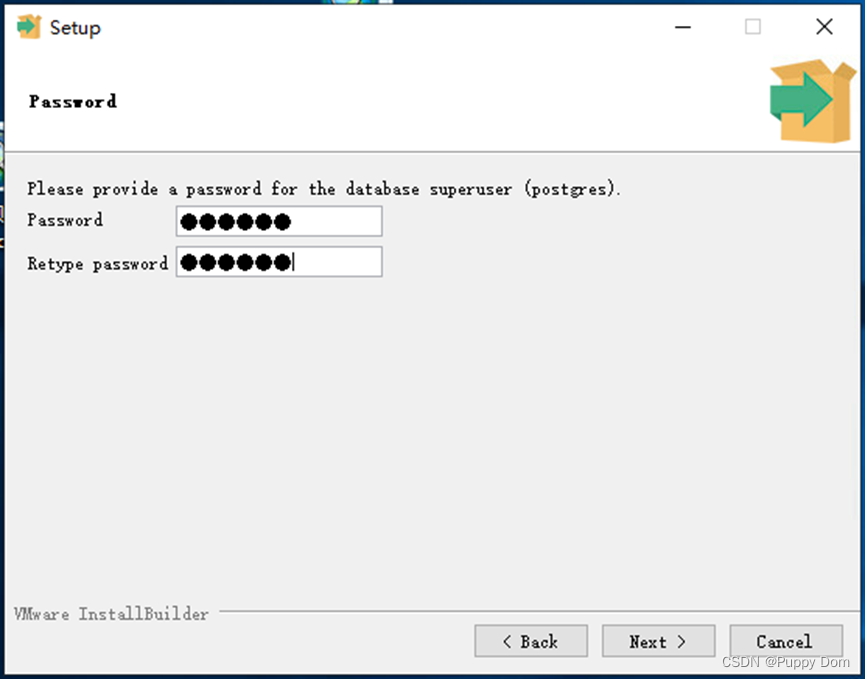
2.设置一个好用的密码123456,next
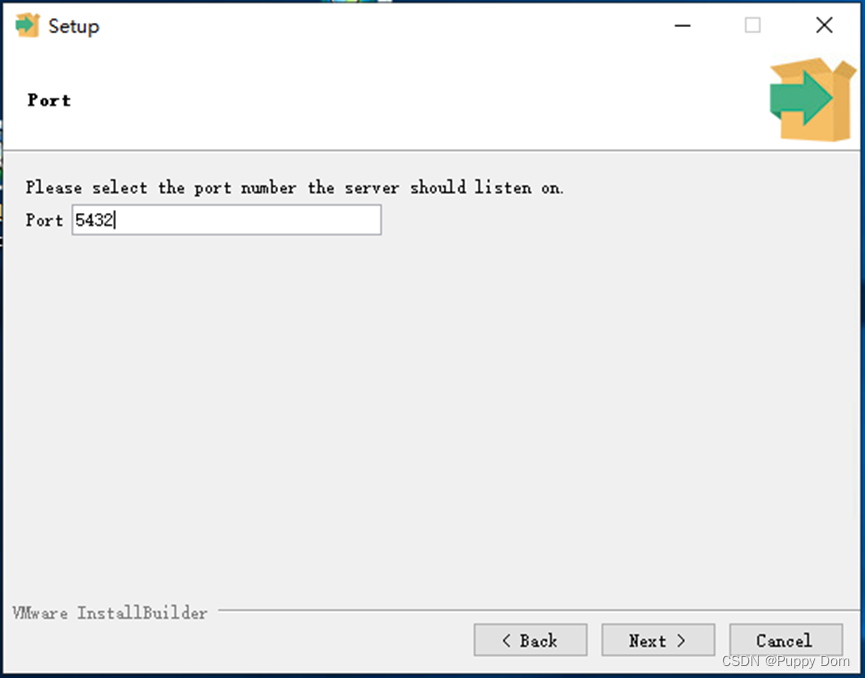
3.端口号5432,next
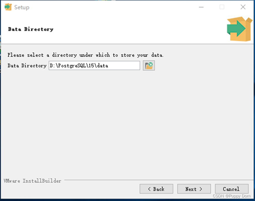
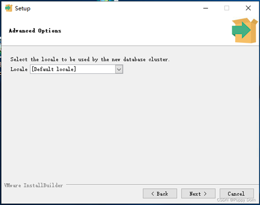
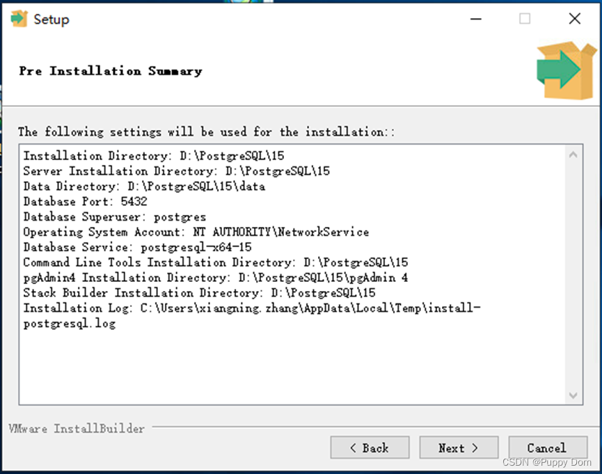
4.剩下的可以默认,然后next

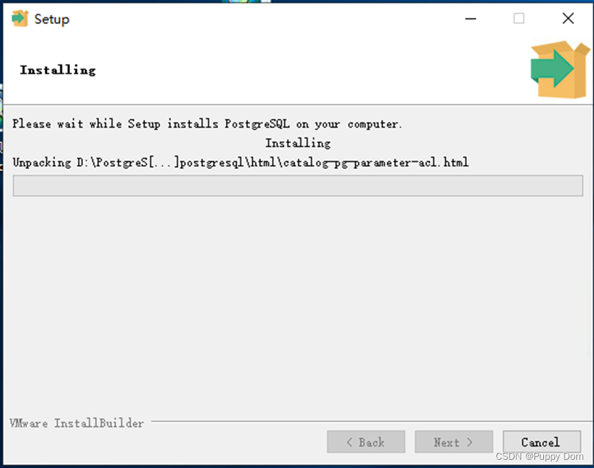
5.开始安装
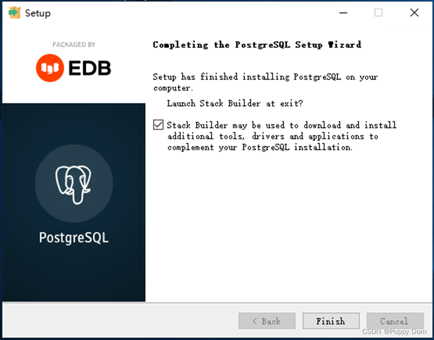
6.安装完成(是不是很简单),点finish就行
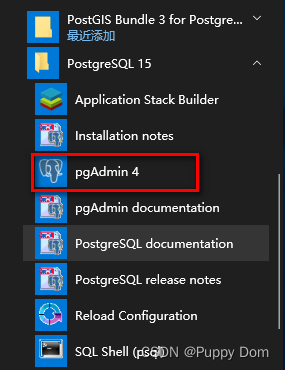
7.在开始目录找到pgAdmin,打开它
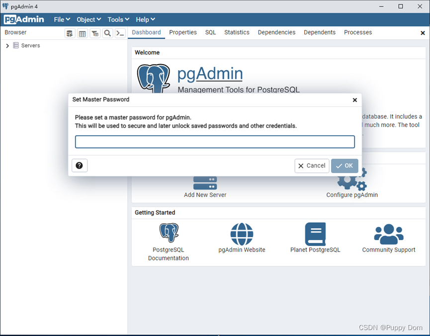
打开后设置一个好记的密码,对的还是123456
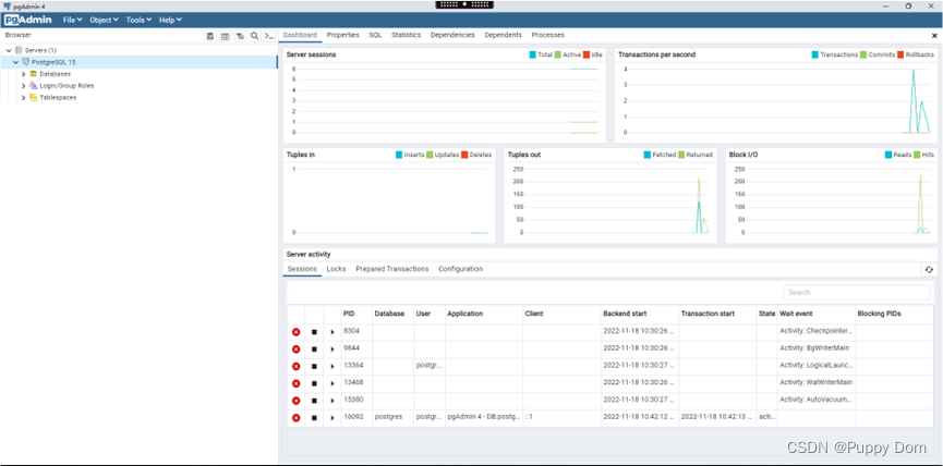
以上postgreSQL就安装完成了(没有网后面就可以关掉了,接着去安装postgis)
PostGIS安装(离线)
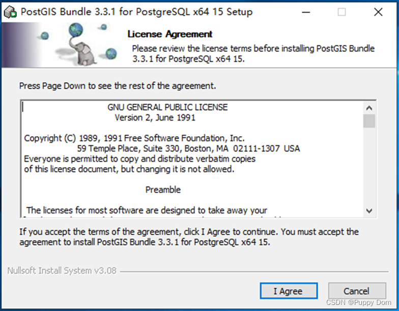
1.双击下载好的exe,同意就完了
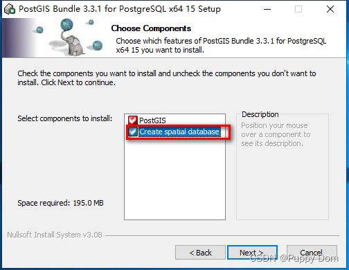
2.那个create spatial database一定要勾选上,不然就很白给,然后next
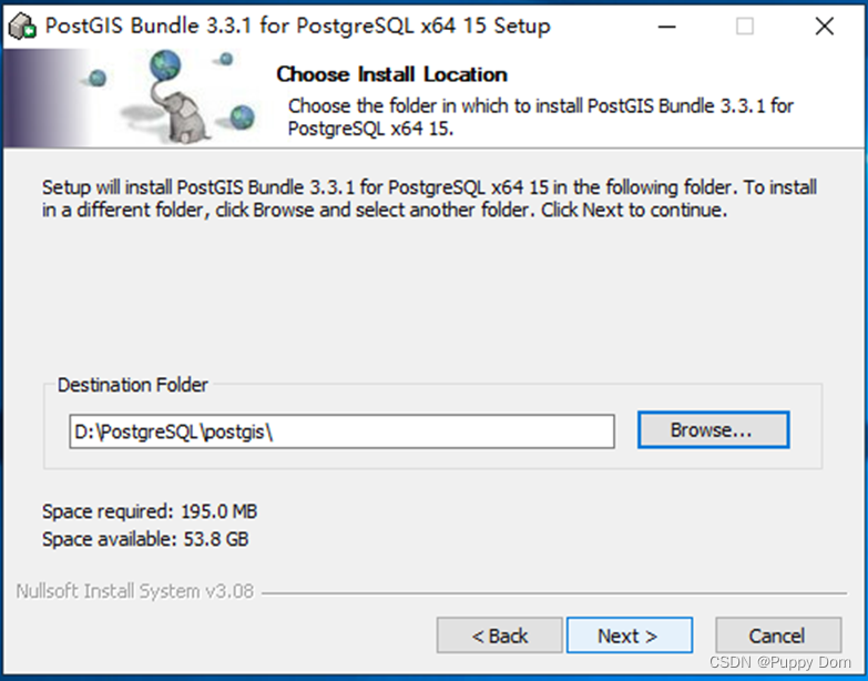
3.下面的文件夹一定要和你的postgreSQL安装目录是一个路径,一个文件夹,不然会提示你的
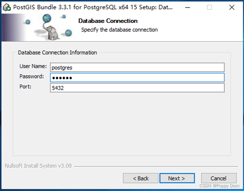
4.密码自己写一个,还是123456
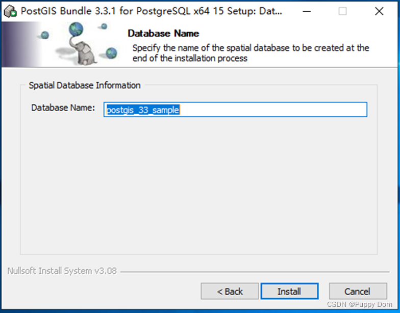
5.库名应该是无所谓的,自己起也行
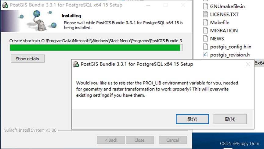
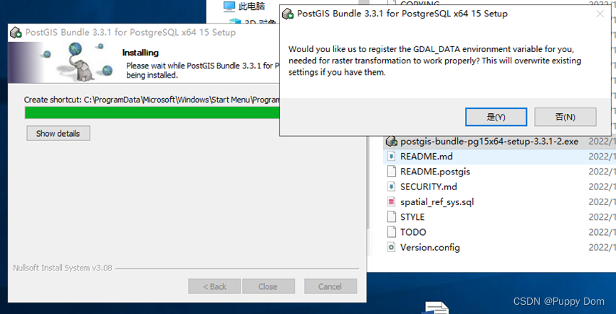
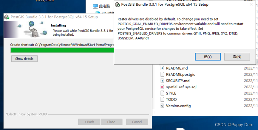
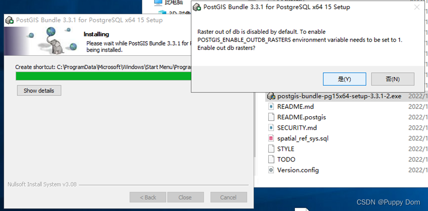
6.不管弹出来啥,都选是就行
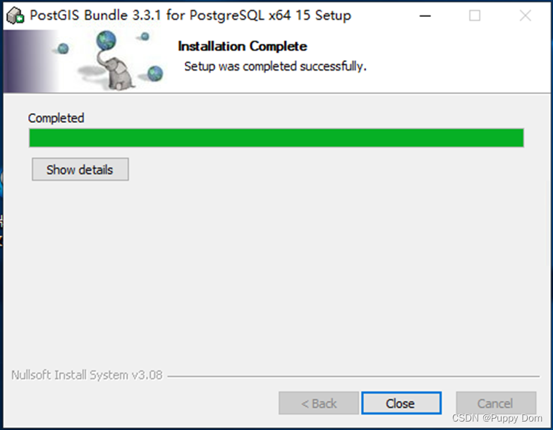
7.安装完成了,close就可以了
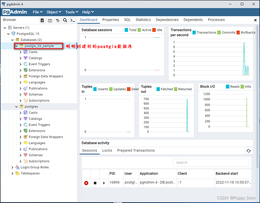
8.重新打开或者刷新pgAdmin就可以看见新建的空间数据库了
全程参考:PostgreSQL+PostGIS安装教程_Oruizn的博客-CSDN博客_postgresql安装postgis


 783
783

 被折叠的 条评论
为什么被折叠?
被折叠的 条评论
为什么被折叠?
 到【灌水乐园】发言


