


先看功能
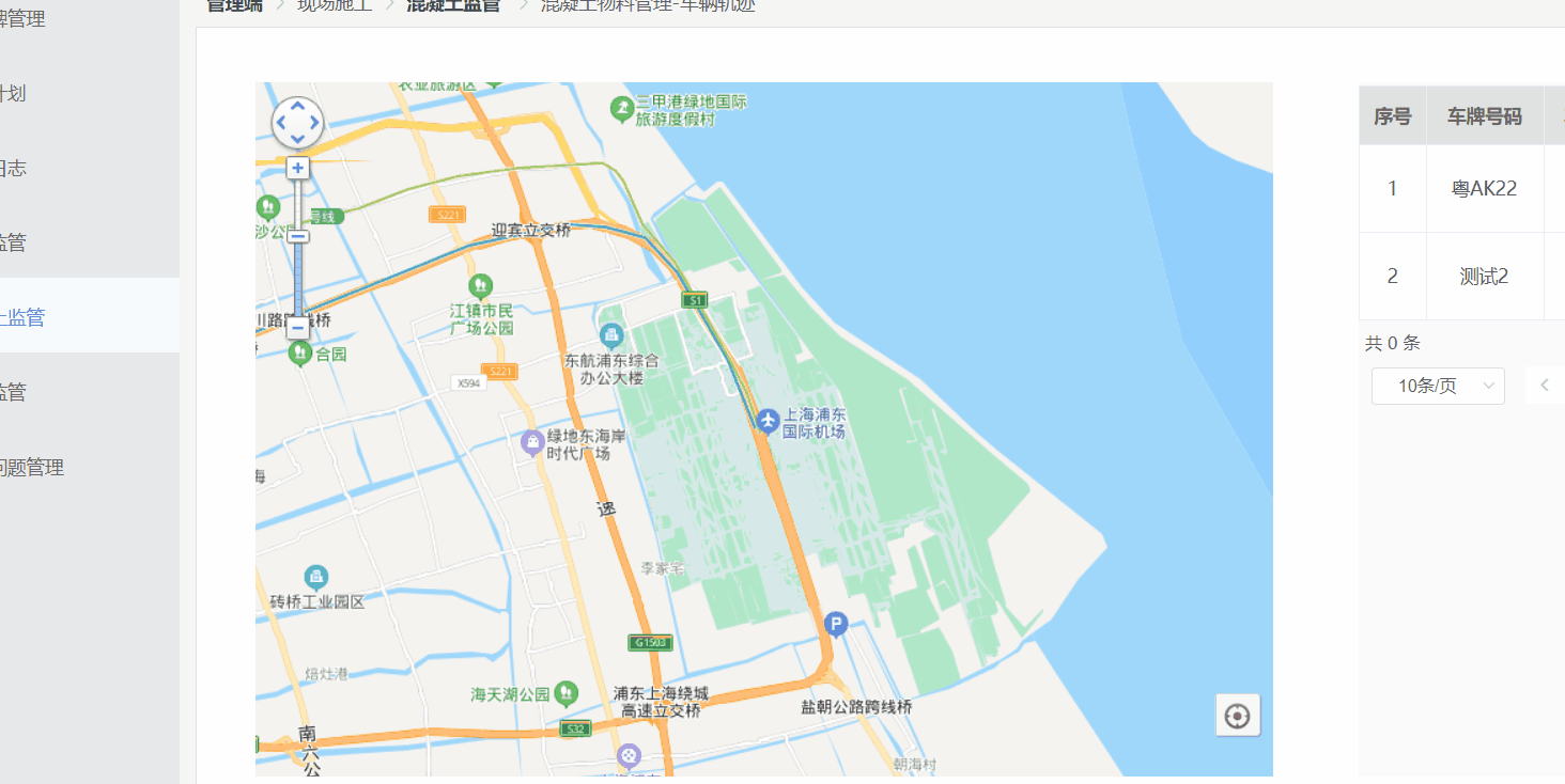
类似于地图导航的样式
不多bb
说下实现步骤
1.下载依赖
npm i vue-baidu-map --save
2.在main.js中引入 并设置key
使用百度地图时一定申请在项目中使用,并生成一个专属的ak
详情参考百度地图使用详情
import BaiduMap from 'vue-baidu-map'
Vue.use(BaiduMap,{ak:'@##$@$#%#$%#%#'})
3.在模块中使用
1.在项目中引用路书功能,类似导航
import { BmlLushu } from 'vue-baidu-map'

2.开始使用
<!--外层-->
  <baidu-map
        class="item"
        id="allmap"
        :zoom="map.zoom"
        :scroll-wheel-zoom="true"
        @ready="handler"
      >
        <!--缩放功能-->
        <bm-navigation anchor="BMAP_ANCHOR_TOP_LEFT"></bm-navigation>
        <!--定位功能-->
        <bm-geolocation
          anchor="BMAP_ANCHOR_BOTTOM_RIGHT"
          :showAddressBar="true"
          :autoLocation="true"
        ></bm-geolocation>

        <!--整条路线就是靠这种坐标点绘制出来的-->
        <bm-polyline
          :path="path"
          stroke-color="blue"
          :stroke-opacity="0.5"
          :stroke-weight="4"
          :editing="false"
        ></bm-polyline>
         <!--绘制起点 设置icon为起点图片 可设置图片的大小-->
        <bm-marker
          :content="content"
          :icon="{
            url: require('@/assets/img/index/qi.png'),
            backgroundPosition: center,
            size: { width: 30, height: 30 },
          }"
          :position="{ lng: startMark.lng, lat: startMark.lat }"
        ></bm-marker>

		<!--绘制终点-->
        <bm-marker
          :content="content"
          :icon="{
            url: require('@/assets/img/index/zhong.png'),
            backgroundPosition: top,
            size: { width: 30, height: 30 },
          }"
          :position="{ lng: endMark.lng, lat: endMark.lat }"
        ></bm-marker>

		<!--路书,模拟导航,就是你从起点到终点看到的小车-->
        <bml-lushu
          @stop="stop"
          :path="path"
          :icon="{
            url: require('@/assets/img/index/car.png'),
            backgroundPosition: top,
            size: { width: 30, height: 30 },
          }"
          :play="play"
          :speed="1000"
          :autoView="true"
          :content="content"
        >
          <!-- :rotation="rotation" :infoWindow="infoWindow"-->
        </bml-lushu>
      </baidu-map>
js部分
data(){
 return {
 	//绘制线路用的经纬度
	path: [
              {
                lng: 121.814224,
                lat: 31.156484,
              },
              {
                lng: 121.808547,
                lat: 31.165754,
              },
              {
                lng: 121.796186,
                lat: 31.184848,
              },
              {
                lng: 121.788353,
                lat: 31.192015,
              },
              {
                lng: 121.771752,
                lat: 31.194734,
              },
              {
                lng: 121.74969,
                lat: 31.189791,
              },
              {
                lng: 121.754217,
                lat: 31.179658,
              },
              {
                lng: 121.757523,
                lat: 31.167794,
              },
            ],
            //绘制地图时的中心点
       defaultlng: 121.814224,
       dafaultlat: 31.156484,
       //起点和终点 的经纬度 不获取 显示不出来
      startMark: {},
      endMark: {},
 }
},
methods:{
//百度地图上的默认事件
	 handler({ BMap, map }) {
      map.centerAndZoom(new BMap.Point(this.defaultlng, this.dafaultlat), 13) // 初始化地图,设置中心点坐标和地图级别
      map.enableScrollWheelZoom(true)
    },
    //后台返回数据 然后处理
    dispose(item){
     let len = item.path.length
     //把返回的坐标第一个和最后一个赋值给起始点
      this.path = item.path
      this.startMark = item.path[0]
      this.endMark = item.path[len - 1]

      }
}


 984
984


 被折叠的 条评论
为什么被折叠?
被折叠的 条评论
为什么被折叠?
 到【灌水乐园】发言


