


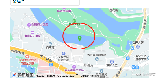
uniapp 写app--实现移动地图坐标始终显示在中间
拖动地图,定位跟随移动,都是用的uni 里的东西,根据经纬度反解析地址还没有解决(有机会再来更新)
使用uniapp里的map 组件
						<view >
							<map style="width: 1200rpx;height: 300px;" id="map" :latitude="latitude" :longitude="longitude" :markers="markers" enable-poi="true"  @tap="updateLocation"  @regionchange="regionchange"></map>
						</view>
<script>
	export default {
		data() {
			return {
				address:'',
				id:0, // 使用 marker点击事件 需要填写id
				title: 'map',
				latitude: 31.849235,//地图中心的经度or纬度
				longitude: 117.133214,//地图中心的经度or纬度
				markers: [{//定位点1
					id:1,
					latitude: 31.849235,
					longitude: 117.133214,
					iconPath: '/static/images/new-location.png'
				},
				{//定位点2
					id: 2,
					latitude: 31.849235,
					longitude: 117.133214,
					iconPath: '/static/images/location.png'
				}],
			}
		},
		methods: {
					//获取中心点位置
			getCenterLatLong(){
				let mapCtx =uni.createMapContext("map",this)
				let that = this
				mapCtx.getCenterLocation({
				  success:res=> {
					// 移动定位点的经纬度位置
						that.markers[0].latitude = res.latitude;
						that.markers[0].longitude = res.longitude;
						that.$forceUpdate(); //真机更改数据后界面不变,强制刷新
				  },
				  fail: (res) => {
				  	console.log("失败",res);
				  }
				})
			},
					regionchange(e){
				console.log("regionchange-----------", e);
				if (e.type === 'end') { //在安卓中是 end 事件
					this.getCenterLatLong()  // 地图移动时获取中心点的经纬度
				}else if(e.type ==='regionchange'){ // 在ios中是 regionchange
					this.getCenterLatLong()
				}
			},
			//获取经纬度
			getLocation() {
				// 新增获取当前定位

				//修改获取数据库定位
				uni.getLocation({
					type: 'gcj02',
					geocode: true, //获取城市具体地址
					success: (res) => {
						console.log("获取城市具体地址--", res.address)
						this.latitude = res.latitude
						this.longitude = res.longitude
						this.markers[0].latitude = res.latitude
						this.markers[0].longitude = res.longitude
						this.markers[1].latitude = res.latitude
						this.markers[1].longitude = res.longitude
						// 改变所属区域
						this.bindPickerChange(res.address.district)
						// this.openMap()
					},
					fail: (res) => {
						console.log("获取地址失败了", res);
					}
				})
			},
		}


 671
671


 被折叠的 条评论
为什么被折叠?
被折叠的 条评论
为什么被折叠?
 到【灌水乐园】发言


