


1、申请key
天地图地图服务对所有用户开放。使用本组服务之前,需要申请Key
2、引入API
地图API是由JavaScript语言编写的,您在使用之前需要通过<script>标签将API引用到页面中:
<script src="http://api.tianditu.gov.cn/api?v=4.0&tk=您的密钥" type="text/javascript"></script>在vue项目中,我们在public文件夹的index.html中引入天地图的api文件
<!DOCTYPE html>
<html lang="zh-CN">
  <head>
    <meta charset="utf-8">
    <meta http-equiv="X-UA-Compatible" content="IE=edge">
    <meta name="viewport" content="width=device-width,initial-scale=1.0">
    <script defer src="//static.gdzwfw.gov.cn/mhyy/browser-upgrade/index.js"></script>
    <script type="text/javascript" src="http://api.tianditu.gov.cn/api?v=4.0&tk=你申请的key"></script>
  </head>
  <body>
    <noscript>
      <strong>We're sorry but aba-init-vue doesn't work properly without JavaScript enabled. Please enable it to continue.</strong>
    </noscript>
    <div id="root"></div>
  </body>
</html>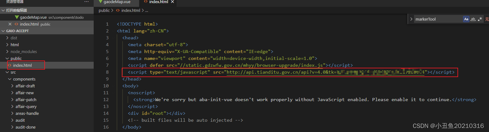
3、在vue页面中,创建一个tiandiMap.vue页面,初始化地图,代码如下:
<template>
  <div>
    <div id="divwxMap" class="divwxMap" style="width: 100%;height: 580px;"></div>
    <div style="margin-top:10px;width:100%">
      <label for="">选中的地址:</label>
      <gd-input
        style="width:88%"
        v-model="address">
      </gd-input>
    </div>
  </div>
</template>

<script type="text/javascript">
  import { mapActions } from 'vuex';
  export default {
    components: {
    },
    data () {
      return {
        wxMap: '',
        address: '',
        markerTool: '',
        addrResult: {},
      };
    },
    mounted () {
      this.initwxMap();
    },
    methods: {
      ...mapActions([
        'getGeocoder',
      ]),
      // 初始化天地图
      initwxMap () {
        // vue项目需要先声明 T = window.T
        let T = window.T;
        this.wxMap = new T.Map('divwxMap'); // div的id
        // 传参中心点经纬度,以及放大程度,最小1,最大18
        this.wxMap.centerAndZoom(new T.LngLat(113.86942, 35.30416), 18);
        var cp = new T.CoordinatePickup(this.wxMap, { callback: this.getLngLat });
        cp.addEvent();
      },
      getLngLat (lnglat) {
        let T = window.T;
        console.log('获取的经纬度');
        const x = lnglat.lng.toFixed(6);
        const y = lnglat.lat.toFixed(6);
        this.wxMap.clearOverLays(); // 清空原来的标注点
        let point = new T.LngLat(x, y);
        let marker = new T.Marker(point);
        this.wxMap.addOverLay(marker); // 添加标注点
        this.getGeocoderFun(x, y);
      },
      // 根据经纬度获取地址
      async getGeocoderFun (lon, lat) {
        this.$loading.show('查询中...');
        const query = {
          postStr: {
            lon,
            lat,
            ver: '1',
          },
          type: 'geocode',
          tk: '7b733691924fcd55d8724722172a0664',
        };
        try {
          const res = await this.getGeocoder({ query });
          this.$loading.hide();
          if (res.status === '0') {
            const result = res.result;
            this.address = result.formatted_address;
            this.addrResult = result;
          }
        }
        catch (e) {
          this.$loading.hide();
        }
      },
      getAddress () {
        return this.addrResult;
      },
    },
  };
</script>

<style lang="stylus" scoped>
</style>
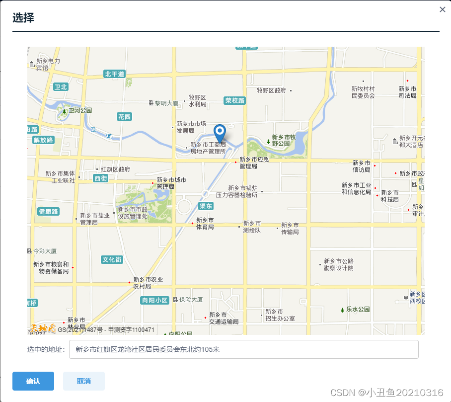
效果:


 5651
5651


 被折叠的 条评论
为什么被折叠?
被折叠的 条评论
为什么被折叠?
 到【灌水乐园】发言


