


历史地理介绍
研究者
H.C Darby
https://www.librarything.com/author/darbyhc
侯仁之
https://newsen.pku.edu.cn/news_events/news/people/12124.html
研究所
北大城环历史地理研究所
http://www.ues.pku.edu.cn/szdw/zzjzg/bxjs/lsdlyjs/index.htm
https://archives.history.ac.uk/makinghistory/resources/articles/historical_geography.html
研究著作
侯仁之:《历史地理学四论》,北京:中国科学技术出版社,2005年
研究工具
Arcgis
在历史地理研究中,一定要有清晰的时空观念。研究的时候要分清所研究的历史阶段。
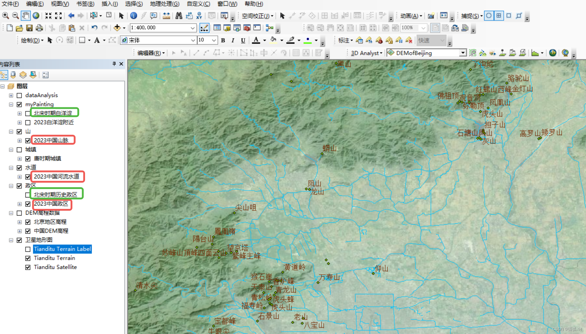
在操作Arcgis的时候,建议将不同时段进行分组,不能眉毛胡子一把转,最后什么问题都解决不了。
一日一图
代码如下:
import math
import turtle as t

# 计算arctan(4/3)的弧度值
angle_radians = math.atan(3/4)

# 将弧度值转换为度数
angle_degrees = math.degrees(angle_radians)


# 设置画布和画笔
screen = t.Screen()


t.tracer(False)#这个语句成立的前提是import turtle as

# 定义直角三角形的边长比例
a = 150  # 较短的直角边
b = 200 # 较长的直角边

# 计算斜边长度
c = math.sqrt(a**2 + b**2)

# 移动到起点
t.penup()
t.goto(0, 0)  # 直角顶点为原点
t.pendown()

# 绘制直角三角形

#t.left(90)  # 左转90度
t.forward(-a)  # 绘制长度为a的直角边

t.left(90)
t.forward(b)  # 绘制长度为b的直角边
t.right(180-angle_degrees)  # 左转90度
t.forward(c)

#以直角顶点为圆心,斜边为半径绘制圆弧
t.penup()
t.goto(0, 0)  # 返回原点
t.pendown()

t.left(90)
t.circle(c/2,180)

#画箭头
t.penup()
t.goto(-a, 0)  # 返回原点
t.pendown()

t.left(90-angle_degrees+90+90-angle_degrees)  # 调整角度,使得经过圆心

t.forward(c/2)

mylist=[]
x,y=0,1
while x<1000:
    x,y=x+y,y
    mylist.append(x)


for i in mylist:
    t.left(i)
    t.forward(i)

    t.penup()

    t.goto(-a/2, b/2)  # 直角顶点为原点
    t.pendown()


# 隐藏画笔
#t.hideturtle()
# 保持窗口
screen.mainloop()
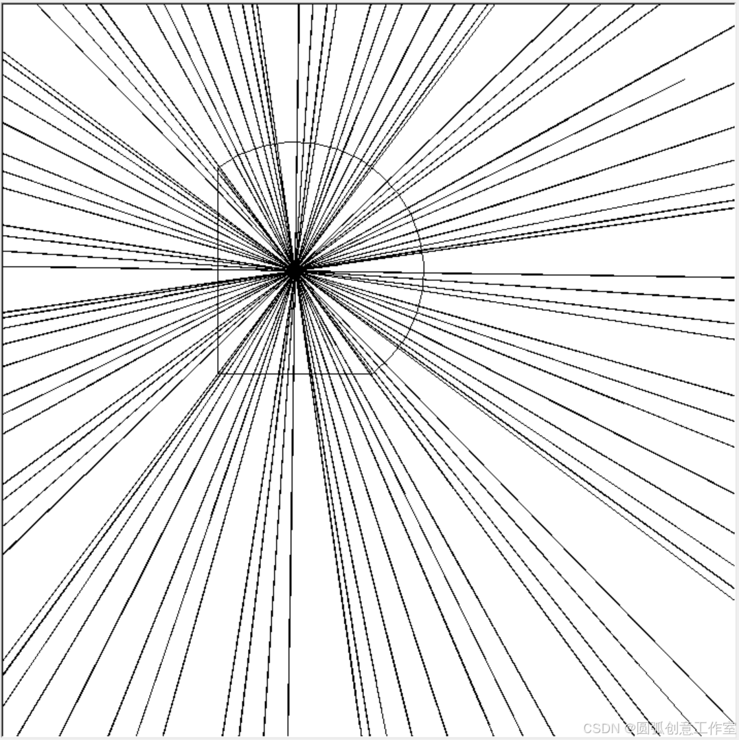
生成图如下:
【心得】


 被折叠的 条评论
为什么被折叠?
被折叠的 条评论
为什么被折叠?
 到【灌水乐园】发言


