


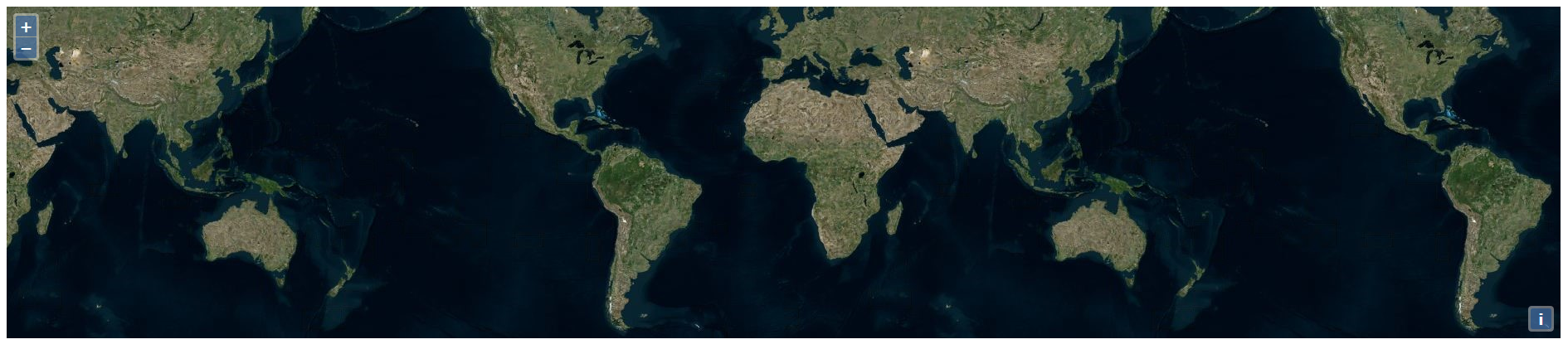
Example of using the drag-and-drop interaction with aol.source.ImageVector. Drag and drop GPX, GeoJSON, IGC, KML, or TopoJSON files on to the map. Each file is rendered to an image on the client.
与ol.source.ImageVector进行拖拽交互的例子。拖拽GPX、GeoJSON、IGC、KML或者TopoJSON文件到地图中,每一个文件会在客户端被渲染成一张图像。
代码:
<!DOCTYPE html>
<html>
  <head>
    <title>Drag-and-Drop Image Vector</title>
    <link rel="stylesheet" href="https://openlayers.org/en/v4.2.0/css/ol.css" type="text/css">
    <!-- The line below is only needed for old environments like Internet Explorer and Android 4.x -->
    <script src="https://cdn.polyfill.io/v2/polyfill.min.js?features=requestAnimationFrame,Element.prototype.classList,URL"></script>
    <script src="https://openlayers.org/en/v4.2.0/build/ol.js"></script>
  </head>
  <body>
    <div id="map" class="map"></div>
    <div id="info"> </div>
    <script>
      // 为不同的几何对象设置默认样式
      var defaultStyle = {
        // 点样式
        'Point': new ol.style.Style({
          image: new ol.style.Circle({
            fill: new ol.style.Fill({
              color: 'rgba(255,255,0,0.5)'
            }),
            radius: 5,
            stroke: new ol.style.Stroke({
              color: '#ff0',
              width: 1
            })
          })
        }),
        // 线样式
       'LineString': new ol.style.Style({
          stroke: new ol.style.Stroke({
            color: '#f00',
            width: 3
          })
        }),
        // 面样式
        'Polygon': new ol.style.Style({
          fill: new ol.style.Fill({
            color: 'rgba(0,255,255,0.5)'
          }),
          stroke: new ol.style.Stroke({
            color: '#0ff',
            width: 1
          })
        }),
        // 多点样式
        'MultiPoint': new ol.style.Style({
          image: new ol.style.Circle({
            fill: new ol.style.Fill({
              color: 'rgba(255,0,255,0.5)'
            }),
            radius: 5,
            stroke: new ol.style.Stroke({
              color: '#f0f',
              width: 1
            })
          })
        }),
        // 多线样式
        'MultiLineString': new ol.style.Style({
          stroke: new ol.style.Stroke({
            color: '#0f0',
            width: 3
          })
        }),
        // 多面样式
        'MultiPolygon': new ol.style.Style({
          fill: new ol.style.Fill({
            color: 'rgba(0,0,255,0.5)'
          }),
          stroke: new ol.style.Stroke({
            color: '#00f',
            width: 1
          })
        })
      };

      // 样式函数
      var styleFunction = function(feature, resolution) {
        var featureStyleFunction = feature.getStyleFunction();
        if (featureStyleFunction) {
          return featureStyleFunction.call(feature, resolution);
        } else {
          return defaultStyle[feature.getGeometry().getType()];
        }
      };

      // 初始化拖拽交互控件,并指定可以拖拽时支持的数据格式
      var dragAndDropInteraction = new ol.interaction.DragAndDrop({
        formatConstructors: [
          ol.format.GPX,
          ol.format.GeoJSON,
          ol.format.IGC,
          ol.format.KML,
          ol.format.TopoJSON
        ]
      });

      var map = new ol.Map({
        // 加载拖拽交互控件
        interactions: ol.interaction.defaults().extend([dragAndDropInteraction]),
        layers: [
          new ol.layer.Tile({
            source: new ol.source.BingMaps({
              imagerySet: 'Aerial',
              key: 'Your Bing Maps Key from http://www.bingmapsportal.com/ here'
            })
          })
        ],
        target: 'map',
        view: new ol.View({
          center: [0, 0],
          zoom: 2
        })
      });

      // 把数据拖拽进地图的时候加载数据到Image图层中
      dragAndDropInteraction.on('addfeatures', function(event) {
        var vectorSource = new ol.source.Vector({
          features: event.features
        });
        map.addLayer(new ol.layer.Image({
          source: new ol.source.ImageVector({
            source: vectorSource,
            style: styleFunction
          })
        }));
        // 自适应拖入进来的数据范围
        map.getView().fit(vectorSource.getExtent());
      });

      // 显示要素信息
      var displayFeatureInfo = function(pixel) {
        var features = [];
        map.forEachFeatureAtPixel(pixel, function(feature) {
          features.push(feature);
        });
        if (features.length > 0) {
          var info = [];
          var i, ii;
          for (i = 0, ii = features.length; i < ii; ++i) {
            info.push(features[i].get('name'));
          }
          document.getElementById('info').innerHTML = info.join(', ') || ' ';
        } else {
          document.getElementById('info').innerHTML = ' ';
        }
      };

      // 鼠标移动到某个要素上时显示要素信息
      map.on('pointermove', function(evt) {
        if (evt.dragging) {
          return;
        }
        var pixel = map.getEventPixel(evt.originalEvent);
        displayFeatureInfo(pixel);
      });

      // 在地图上单击的时候显示要素信息
      map.on('click', function(evt) {
        displayFeatureInfo(evt.pixel);
      });
    </script>
  </body>
</html>


 5199
5199

 被折叠的 条评论
为什么被折叠?
被折叠的 条评论
为什么被折叠?
 到【灌水乐园】发言


