


这篇没啥好说的,写出来完全是嘲笑一下自己蠢,以及,,,帮大家避个坑。。。。
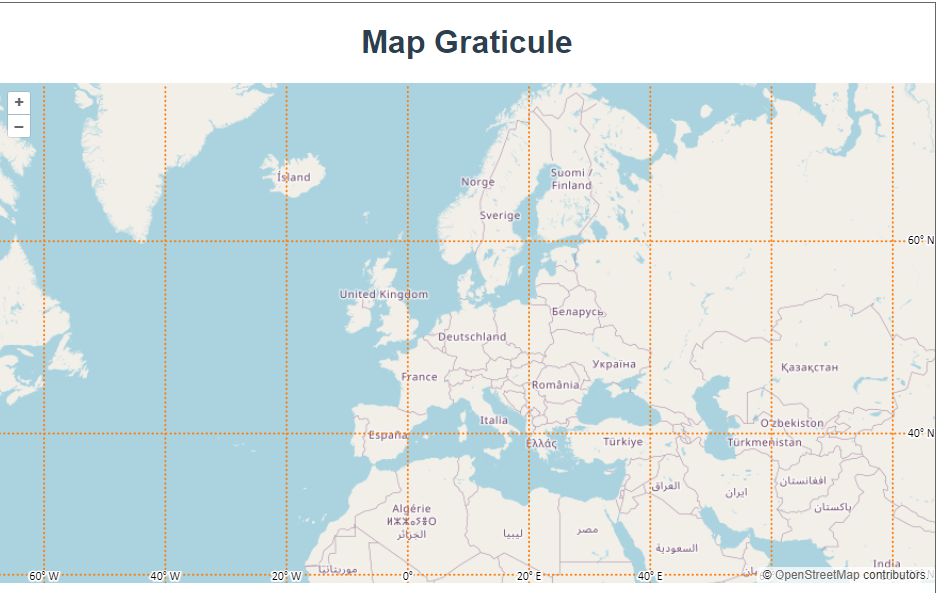
之前一个项目需要展示这种经纬线,但是我不知道openlayers有这种图层,于是拿canvas画上去的。。。。
![]()
很好,又是被自己蠢哭的一天。。 。
import Graticule from 'ol/layer/Graticule.js';
import Map from 'ol/Map.js';
import OSM from 'ol/source/OSM.js';
import Stroke from 'ol/style/Stroke.js';
import TileLayer from 'ol/layer/Tile.js';
import View from 'ol/View.js';
import {fromLonLat} from 'ol/proj.js';

const map = new Map({
  layers: [
    new TileLayer({
      source: new OSM({
        wrapX: false,
      }),
    }),
    new Graticule({
      // the style to use for the lines, optional.
      strokeStyle: new Stroke({
        color: 'rgba(255,120,0,0.9)',
        width: 2,
        lineDash: [0.5, 4],
      }),
      showLabels: true,
      wrapX: false,
    }),
  ],
  target: 'map',
  view: new View({
    center: fromLonLat([4.8, 47.75]),
    zoom: 5,
  }),
});
官网api文档:


 1489
1489

 被折叠的 条评论
为什么被折叠?
被折叠的 条评论
为什么被折叠?
 到【灌水乐园】发言


