


 超级会员免费看
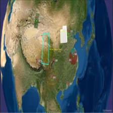
 本文介绍了如何在osgEarth中设置二维地图模式,通过配置ArcGIS Online地图项为projected类型,并选择Equirectangular projection作为投影方式。通过示例代码clear_2D.earth,展示了最终的二维地图效果,即使在近处也能保持清晰。
一、原理
首先设置地图为二维模式
<map name="ArcGIS Online" type="projected" version="2">
然后在options里面设置投影方式为Equirectangular projection(ERP)
<profile>eqc-wgs84</profile>
二、地图代码
clear_2D.earth
<!--设置二维模式-->
<map name="ArcGIS Online" type="projected" version="2">

    <image name="arcgis-world-imagery" driver="arcgis">
        <url>http://services.arcgisonline.com/arcgis/rest/services/World_Imagery
 订阅专栏 解锁全文


 3100
3100

 被折叠的 条评论
为什么被折叠?
被折叠的 条评论
为什么被折叠?
 到【灌水乐园】发言


