


1 简介
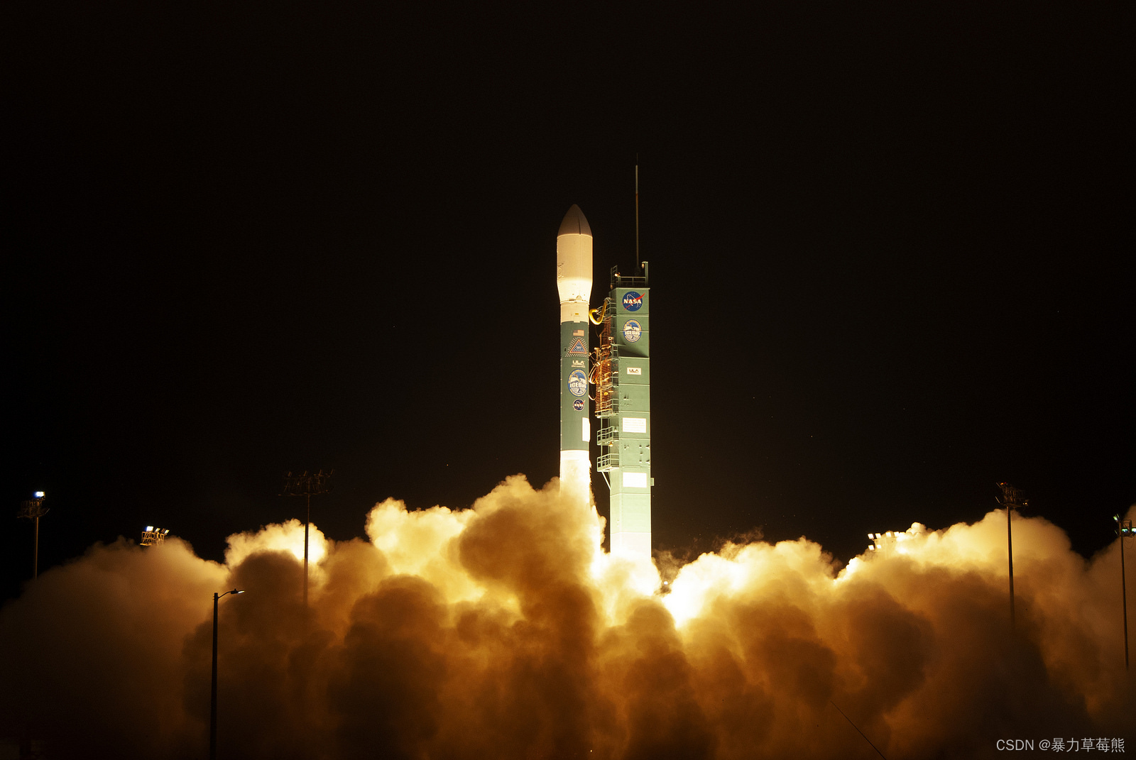
ICESat-2 于 2018 年 9 月 15 日成功升空,是美国继 ICESat 失效后发射的新一代星载激光雷达卫星。
下面是NASA官网对ICESat-2/ATLAS的简介
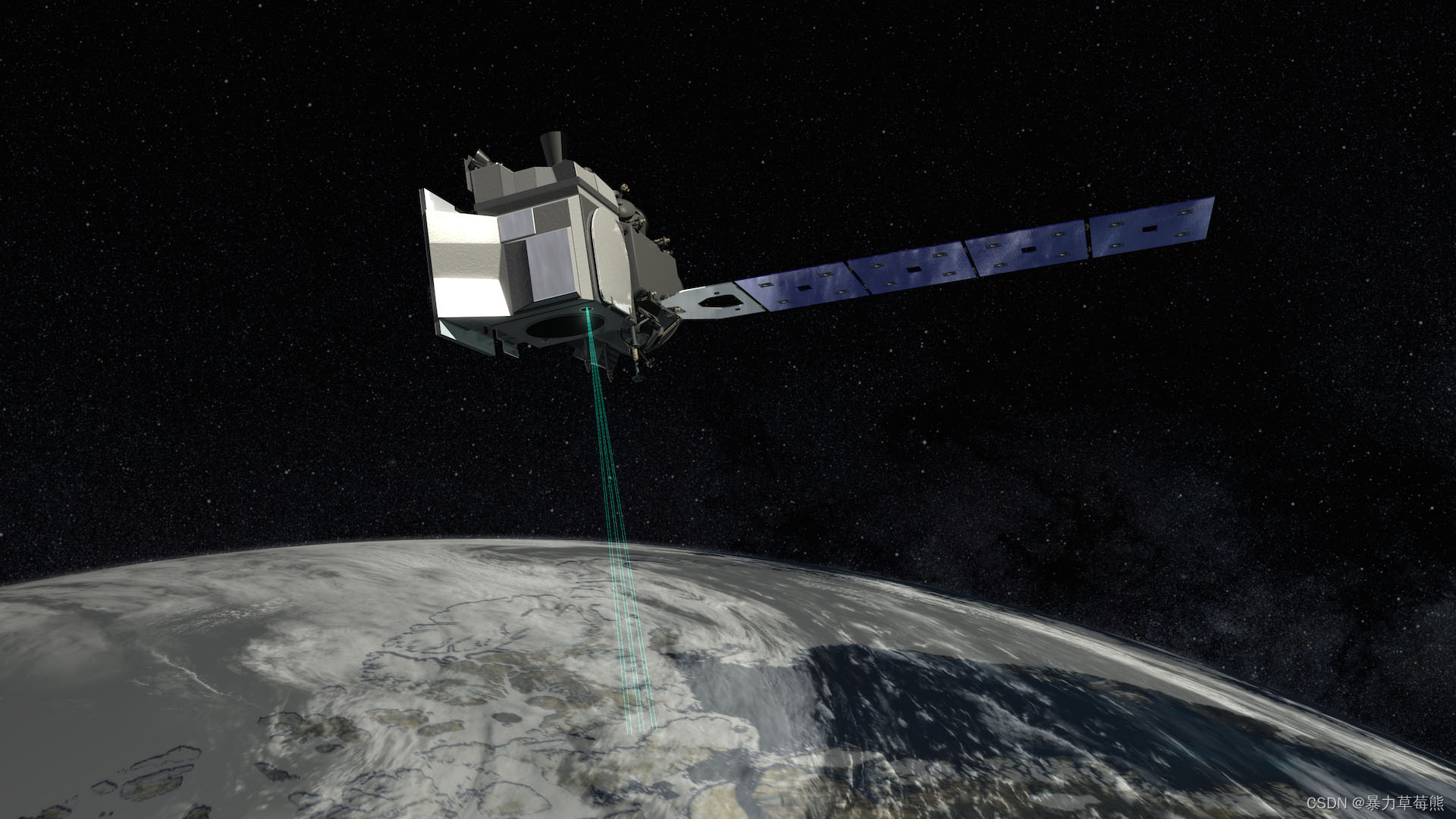
The Ice, Cloud and land Elevation Satellite-2, or ICESat-2, will measure the height of a changing Earth – one laser pulse at a time, 10,000 laser pulses a second. Launched in 2018, ICESat-2 will carry a laser altimeter that detects individual photons, allowing scientists to measure the elevation of ice sheets, sea ice, forests and more in unprecedented detail.
ICESat-2将测量不断变化的地球的高度——一次一激光脉冲,每秒发射1,0000激光脉冲。2018年发射的ICESat-2将携带一个激光高度计,可以探测单个光子,让科学家能够测量冰盖、海冰、森林和更多前所未有的细节。
Our planet’s frozen and icy areas, called the cryosphere, are a key focus of NASA’s Earth science research. ICESat-2 will help scientists investigate why, and how much, our cryosphere is changing in a warming climate. The satellite will also measure heights across Earth’s temperate and tropical regions, and take stock of the vegetation in forests worldwide.
我们星球上的冰冻区域被称为冰冻圈,是美国宇航局地球科学研究的重点。ICESat-2将帮助科学家调查冰冻圈气候变暖的原因和幅度。该卫星还将测量地球温带和热带地区的高度,并对全球森林植被进行评估。
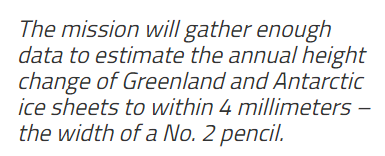
(此次任务将收集足够的数据,估计格陵兰岛和南极冰盖的年高度变化在4毫米以内——相当于2号铅笔的宽度)
Using Light to Measure Height
ICESat-2 will carry a single instrument, the Advanced Topographic Laser Altimeter System, or ATLAS. ATLA
 最低0.47元/天 解锁文章


 254
254


 被折叠的 条评论
为什么被折叠?
被折叠的 条评论
为什么被折叠?
 到【灌水乐园】发言


