


CARVE: L4 Gridded Particle Trajectories for WRF-STILT model, 2012-2016
简介
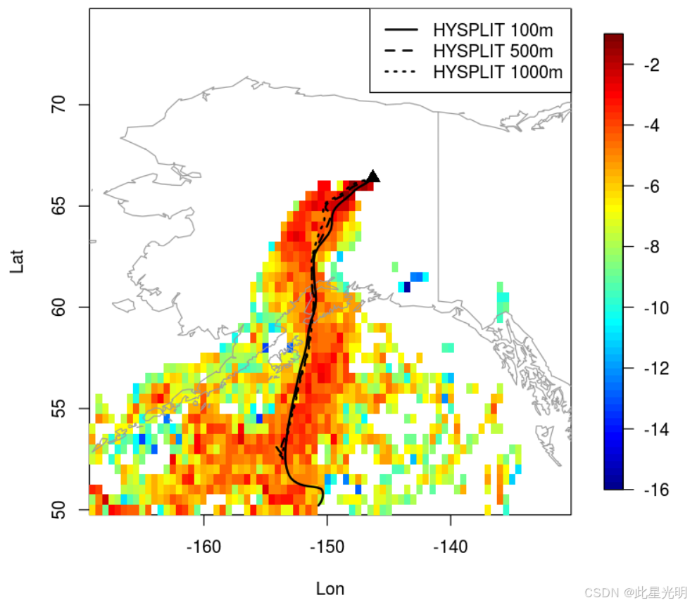
该数据集为位于北极碳库脆弱性实验 (CARVE) 飞行路径(2012 - 2015 年)沿线位置的粒子接收器以及阿拉斯加和加拿大北极地区的各个气象站提供天气研究与预报 (WRF) 随机时间倒置拉格朗日传输 (STILT) 模型输入。每个产品包含多个 NetCDF 文件,打包为一个 TAR/GZIP 文件。这些数据对应于同样由 CARVE 科学团队生成的 WRF-STILT 模型足迹数据。
该数据集包含 72 个 TAR/GZIP 文件,其中包含 NetCDF 格式的 WRF-STILT 粒子文件。
摘要
Table 1. Naming convention for NetCDF files generated by WRF-STILT.
Example file name: foot2013x06x25x04x00x65.1330Nx147.4539Wx00003.nc
| Name element | Example value | Units |
|---|---|---|
| Year | 2013 | YYYY |
| Month | 06 | MM |
| Day | 25 | DD |
| Hour | 04 | hh (UTC) |
| Minute | 00 | mm (UTC) |
| Latitude | 65.1330N | decimal degrees |
| Longitude | 127.4539W | decimal degrees |
| Height A.G.L. | 00003 | m |
For example, the above file contains the modeled particle footprints for June 25, 2013 at 4:00 UTC. The observation was taken at 65.1330N, 127.4539W at 3 m above ground level.
Data Variables
Table 2. Data variables in each NetCDF file. Fill values or missing data were set to -1.0E34 for all variables.
| Variable name | Units | Description |
|---|---|---|
| checkbasic | basic output from Trajeccheck() | |
| checkbasicnames | names for checkbasic 1D array | |
| checksum | checksum array | |
| checksumdate | days since 2000-01-01 00:00:00 UTC | checksum date |
| checksumnames | column names for checksum array | |
| endpts | stilt particle location array thinned to retain rows containing trajectory endpts | |
| endptsdate | days since 2000-01-01 00:00:00 UTC | end points date |
| endptsnames | column names for particle array ‘endpts’ | |
| foot1 | ppm per (umol m-2 s-1) | gridded STILT footprint |
| foot1date | days since 2000-01-01 00:00:00 UTC | date of foot1 |
| foot1hr | hours | hours back from STILT start time |
| foot1lat | degrees_north | degrees latitude of center of grid cells |
| foot1lon | degrees_east | degrees longitude of center of grid cells |
| footnearfield1 | ppm per (umol m-2 s-1) | gridded STILT footprint |
| footnearfield1date | days since 2000-01-01 00:00:00 UTC | date for 'footnearfield1' |
| footnearfield1hr | hours | hours back from STILT start time for 'footnearfield1' |
| footnearfield1lat | degrees_north | degrees latitude of center of grid cells |
| footnearfield1lon | degrees_east | degrees longitude of center of grid cells |
| ident | identifier string | |
| nchar | numeric identifier | |
| origagl | meters | original receptor height above ground before rounding for STILT |
| origlat | degrees_north | original receptor latitude |
| origlon | degrees_east | original receptor longitude |
| origutctime | UTC time | original receptor time |
| origutctimeformat | original receptor time format | |
| part3d | stilt particle location array thinned to retain rows approximately every so many hours | |
| part3ddate | days since 2000-01-01 00:00:00 UTC | date of part3d |
| part3dnames | column names for particle array ‘part3d’ | |
| partfoot | stilt particle location array thinned to retain rows where foot > 0 | |
| partfootdate | days since 2000-01-01 00:00:00 UTC | date of partfoot |
| partfootnames | column names for particle array ‘partfoot’ |
代码
!pip install leafmap
!pip install pandas
!pip install folium
!pip install matplotlib
!pip install mapclassify

import pandas as pd
import leafmap

url = "https://github.com/opengeos/NASA-Earth-Data"
df = pd.read_csv(url, sep="\t")
df

leafmap.nasa_data_login()


results, gdf = leafmap.nasa_data_search(
    short_name="CARVE_L4_WRF-STILT_Particle_1430",
    cloud_hosted=True,
    bounding_box=(-180.0, 30.0, 180.0, 90.0),
    temporal=("2012-01-01", "2016-04-28"),
    count=-1,  # use -1 to return all datasets
    return_gdf=True,
)


gdf.explore()

#leafmap.nasa_data_download(results[:5], out_dir="data")
引用
CARVE Science Team. 2017. CARVE: L4 Gridded Particle Trajectories for WRF-STILT model, 2012-2016. ORNL DAAC, Oak Ridge, Tennessee, USA.
网址推荐
知识星球
知识星球 | 深度连接铁杆粉丝,运营高品质社群,知识变现的工具 (zsxq.com)![]() https://wx.zsxq.com/group/48888525452428
https://wx.zsxq.com/group/48888525452428


 被折叠的 条评论
为什么被折叠?
被折叠的 条评论
为什么被折叠?
 到【灌水乐园】发言


