


CARVE: L1 Daily Flight Path Geolocation and Aircraft Position Data, Alaska, 2012-2015
简介
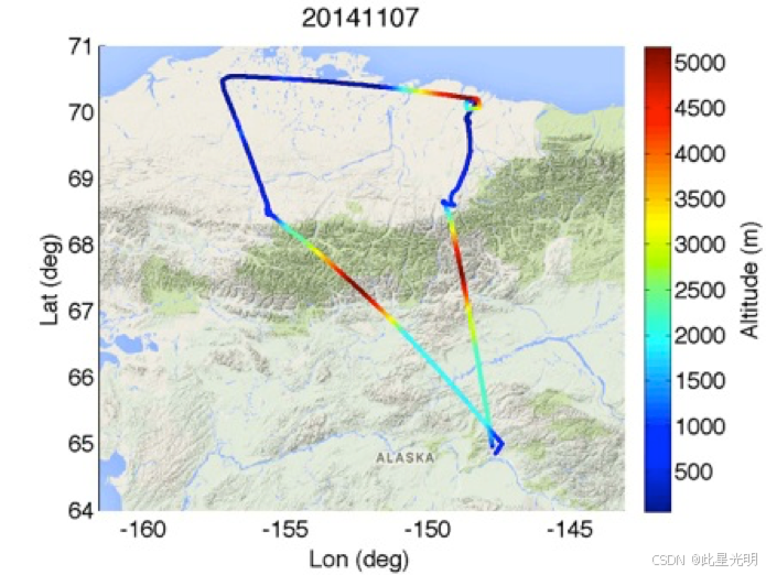
该数据集为 C-23“夏尔巴”运输机在阿拉斯加和加拿大北极地区上空执行空中任务期间提供高频地理定位、时间、高度、俯仰角、滚转角和航向信息,该任务是北极碳储层脆弱性实验(CARVE)的一部分。数据使用机载数字大气数据系统(DADS)现场收集,并在每次飞行中以 1 秒的间隔呈现。飞行任务于 2012 年至 2015 年 3 月至 11 月期间进行,旨在研究大气气体含量的季节性和年际变化。该数据集中包含的测量值可用于将飞机位置与其他 CARVE 机载仪器收集的科学数据进行匹配。
摘要
Table 1. CARVE file naming convention. Example file name: carve_DADS_L1_b23_20120513_20150621190524.nc
| Name element | Example value | Units |
| Project name | carve | |
| Instrument | DADS | |
| Processing level | L1 | |
| Build ID | b23 | |
| Flight date | 20120513 | yyyymmdd |
| Processing date and time | 20150621190524 | yyyymmddhhmmss |
Data variables
Each file contains 8 geolocation and time variables and an additional 6 science measurement variables described in Table 2.
Table 2. Data variables in each netCDF file. Fill value or missing data were set to -999.9 for all variables.
| Variable name | Description | Units |
| Geolocation measurements | ||
| center_lat | latitude of (aircraft sampling) footprint center | Decimal degrees North |
| center_lat_standard_error | uncertainty of latitude | Decimal degrees North |
| center_lon | longitude of (aircraft sampling) footprint center | Decimal degrees East |
| center_lon_standard_error | uncertainty of longitude | Decimal degrees East |
| geolocation_qc | geolocation status flag | 0 = Success, 1 = Error |
| height | height of aircraft above ground | meters |
| height_standard_error | uncertainty of height | meters |
| time | time | seconds since 1980-1-6 0:0:0 UTC |
| Science Measurements | ||
| heading | aircraft heading | degrees |
| heading_qc | aircraft heading status flag | 0 = Valid, 1 = Out of Range, 2 = Error |
| pitch | aircraft pitch angle | degrees |
| pitch_qc | aircraft pitch status flag | 0 = Valid, 1 = Out of Range, 2 = Error |
| roll | aircraft roll angle | degrees |
| roll_qc | aircraft roll status flag | 0 = Valid, 1 = Out of Range, 2 = Error |
代码
!pip install leafmap
!pip install pandas
!pip install folium
!pip install matplotlib
!pip install mapclassify

import pandas as pd
import leafmap

url = "https://github.com/opengeos/NASA-Earth-Data/raw/main/nasa_earth_data.tsv"
df = pd.read_csv(url, sep="\t")
df

leafmap.nasa_data_login()


results, gdf = leafmap.nasa_data_search(
    short_name="CARVE_L1_FlightPath_1425",
    cloud_hosted=True,
    bounding_box=(-168.11, 58.84, -131.75, 71.56),
    temporal=("2012-05-23", "2015-11-13"),
    count=-1,  # use -1 to return all datasets
    return_gdf=True,
)


gdf.explore()

#leafmap.nasa_data_download(results[:5], out_dir="data")
引用
Miller, C.E., Dinardo, S.J. et al. (2012). CARVE: The Carbon in Arctic Reservoirs Vulnerability Experiment., 2012 IEEE Aerospace Conference. http://dx.doi.org/10.1109/AERO.2012.6187026
网址推荐
知识星球
知识星球 | 深度连接铁杆粉丝,运营高品质社群,知识变现的工具 (zsxq.com)![]() https://wx.zsxq.com/group/48888525452428
https://wx.zsxq.com/group/48888525452428


 被折叠的 条评论
为什么被折叠?
被折叠的 条评论
为什么被折叠?
 到【灌水乐园】发言


