


ZIP Code tabulation areas (ZCTAs) are approximate area representations of U.S. Postal Service (USPS) 5-digit ZIP Codes. The Census Bureau defines ZCTAs by allocating each Census block that contains addresses to a single ZIP Code tabulation area, usually to the ZCTA that reflects the most frequently occurring ZIP Code for the addresses within that block. Blocks that do not contain addresses but that are completely surrounded by a single ZIP Code tabulation area (enclaves) are assigned to the surrounding ZCTA; those surrounded by multiple ZCTAs will be added to a single ZCTA based on the longest shared border.
The Census Bureau identifies 5-digit ZIP Code tabulation areas using a 5- character numeric code that represents the most frequently occurring USPS ZIP Code within that ZCTA. This code may contain leading zeros.
Data users should not use ZCTAs to identify the official USPS ZIP Code for mail delivery. The USPS makes periodic changes to ZIP Codes to support more efficient mail delivery. ZIP Codes that cover primarily nonresidential or post office box addresses may not have a corresponding ZCTA because the delineation process uses primarily residential addresses, resulting in a bias towards ZIP Codes used for city-style mail delivery.
For full technical details on all TIGER 2010 products, see the TIGER technical documentation.
邮政编码表区(ZCTA)是美国邮政服务(USPS)5位数邮政编码的近似区域代表。人口普查局通过将每个包含地址的人口普查区分配到一个单一的邮政编码列表区,通常是反映该区块内地址最频繁出现的邮政编码的ZCTA。不包含地址但完全被一个单一的邮政编码列表区(飞地)包围的区块被分配到周围的ZCTA;那些被多个ZCTA包围的区块将根据最长的共同边界被添加到一个ZCTA。
人口普查局使用5位数的数字代码确定5位数的邮政编码列表区,该代码代表该ZCTA内最经常出现的美国邮政邮政编码。这个代码可能包含前导零。
数据用户不应使用ZCTA来确定用于邮寄的官方USPS ZIP Code。美国邮政对邮政编码进行定期修改,以支持更有效的邮件投递。主要涵盖非住宅或邮政信箱地址的邮政编码可能没有相应的ZCTA,因为划定过程主要使用住宅地址,导致对用于城市风格邮件投递的邮政编码的偏爱。
关于所有TIGER 2010产品的全部技术细节,请参见TIGER技术文件。
Dataset Availability
2010-01-01T00:00:00 - 2010-01-02T00:00:00
Dataset Provider
Collection Snippet
Copied
ee.FeatureCollection("TIGER/2010/ZCTA5")
波段信息:
| Name | Type | Description |
|---|---|---|
| ALAND10 | Double | 2010 Census Land area |
| AWATER10 | Double | 2010 Census Water area |
| CLASSFP10 | String | 2010 Census FIPS 55 class code |
| FUNCSTAT10 | String | 2010 Census functional status (Always "S", for "Statistical entity".) |
| GEOID10 | String | 2010 Census 5-digit ZIP Code Tabulation Area identifier |
| INTPTLAT10 | String | 2010 Census latitude of the internal point |
| INTPTLON10 | String | 2010 Census longitude of the internal point |
| MTFCC10 | String | MAF/TIGER feature class code (Always "G6350".) |
| ZCTA5CE10 | String | 2010 Census 5-digit ZIP Code Tabulation Area code |
数据使用:
The U.S. Census Bureau offers some of its public data in machine-readable format via an Application Programming Interface (API). All of the content, documentation, code and related materials made available to you through the API are subject to these terms and conditions.
引用:
For the creation of any reports, publications, new data sets, derived products, or services resulting from the data set, users should cite the US Census Bureau.
代码:
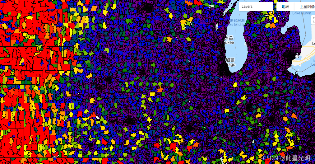
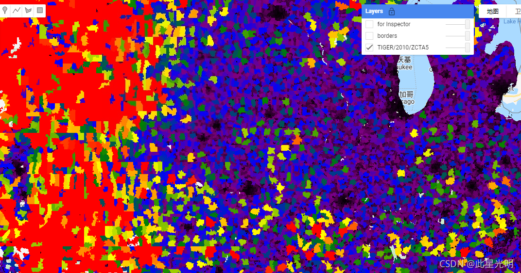
var dataset = ee.FeatureCollection('TIGER/2010/ZCTA5');
var visParams = {
palette: ['black', 'purple', 'blue', 'green', 'yellow', 'orange', 'red'],
min: 500000,
max: 1000000000,
};
var zctaOutlines = ee.Image().float().paint({
featureCollection: dataset,
color: 'black',
width: 1
});
var image = ee.Image().float().paint(dataset, 'ALAND10');
Map.setCenter(-93.8008, 40.7177, 6);
Map.addLayer(image, visParams, 'TIGER/2010/ZCTA5');
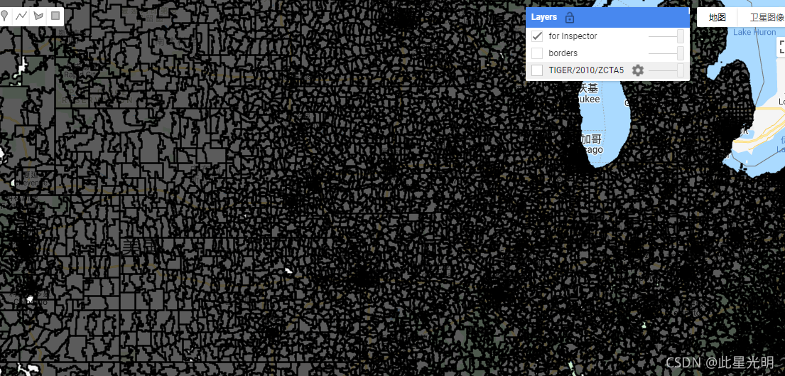
Map.addLayer(zctaOutlines, {}, 'borders');
Map.addLayer(dataset, null, 'for Inspector', false);


 3759
3759

 被折叠的 条评论
为什么被折叠?
被折叠的 条评论
为什么被折叠?
 到【灌水乐园】发言


