


CARVE: L1 Daily Flight Path and Winds Data, Alaska, 2015
简介
该数据集提供了 C-23 Sherpa 飞机在阿拉斯加和加拿大北极地区上空执行空中任务期间的高频风速和风向数据,该任务是北极碳储层脆弱性实验(CARVE)的一部分。数据使用飞机上的 Aventech AIMMS-30 机载风传感器进行现场采集,并在每次飞行中以 1 秒的间隔呈现。风传感器仅在 2015 年的航班上可用。该数据集中包含的测量数据与其他 CARVE 机载仪器收集的科学数据结合使用时最为有用。这些测量结果是用于 CARVE 调查的创新型多仪器遥感有效载荷的一部分。有 60 个 netCDF (*.nc) 格式的数据文件;每个文件对应 2015 年的一次 CARVE 活动飞行,但并非所有飞行都有代表。
摘要
Table 1. CARVE file naming convention. Example file name: carve_Winds_L1_A_b23_20150506_20160927025654.nc
| Name element | Example value | Units |
| Project name | carve | |
| Instrument | Winds | |
| Processing level | L1_A | |
| Build ID | b23 | |
| Flight date | 20150506 | yyyymmdd |
| Processing date and time | 20160927025654 | yyyymmddhhmmss |
Data variables
Each file contains 8 geolocation and time variables and an additional 4 science measurement variables, as described in Table 2.
Table 2. Data variables in each netCDF file. Fill value or missing data were set to -999.9 for all variables.
| Variable name | Description | Units |
| Geolocation measurements | ||
| center_lat | latitude of (aircraft sampling) footprint center | Decimal degrees North |
| center_lat_standard_error | uncertainty of latitude | Decimal degrees North |
| center_lon | longitude of (aircraft sampling) footprint center | Decimal degrees East |
| center_lon_standard_error | uncertainty of longitude | Decimal degrees East |
| geolocation_qc | geolocation status flag | 0 = Success, 1 = Error |
| height | height of aircraft above ground | meters |
| height_standard_error | uncertainty of height | meters |
| time | time | seconds since 1980-1-6 0:0:0 UTC |
| Science Measurements | ||
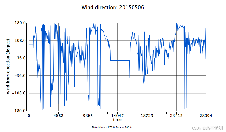
| direction | wind from direction | degrees |
| direction_qc | wind from direction status flag | 0 = Valid, 1 = Out of Range, 2 = Error |
| speed | wind speed | meters per second |
| speed_qc | wind speed status flag | 0 = Valid, 1 = Out of Range, 2 = Error |
代码
!pip install leafmap
!pip install pandas
!pip install folium
!pip install matplotlib
!pip install mapclassify

import pandas as pd
import leafmap

url = "https://github.com/opengeos/NASA-Earth-Data"
df = pd.read_csv(url, sep="\t")
df

leafmap.nasa_data_login()


results, gdf = leafmap.nasa_data_search(
    short_name="ABoVE_ASCENDS_XCO2_2050",
    cloud_hosted=True,
    bounding_box=(-168.07, 58.84, -132.24, 71.32),
    temporal=("2015-04-15", "2015-11-13"),
    count=-1,  # use -1 to return all datasets
    return_gdf=True,
)


gdf.explore()

#leafmap.nasa_data_download(results[:5], out_dir="data")
引用
CARVE Science Team . 2017. CARVE: L1 Daily Flight Path and Winds Data, Alaska, 2015. ORNL DAAC, Oak Ridge, Tennessee, USA.
网址推荐
知识星球
知识星球 | 深度连接铁杆粉丝,运营高品质社群,知识变现的工具 (zsxq.com)![]() https://wx.zsxq.com/group/48888525452428
https://wx.zsxq.com/group/48888525452428


 被折叠的 条评论
为什么被折叠?
被折叠的 条评论
为什么被折叠?
 到【灌水乐园】发言


