


The AHN DEM is a 0.5m DEM covering the Netherlands. It was generated from LIDAR data taken in the spring between 2007 and 2012.
It contains ground level samples with all other items above ground (such as buildings, bridges, trees etc.) removed. This version is interpolated; the areas where objects have been removed are filled with interpolated values. The point cloud was converted to a 0.5m grid using a squared inverse distance weighting method. Note: This dataset does not include a small number of tiles listed in the manifest that are only available at a lower resolution.
AHN DEM 是覆盖荷兰的 0.5m DEM。它是根据 2007 年至 2012 年春季拍摄的 LIDAR 数据生成的。

它包含地面样本,地面上的所有其他项目(例如建筑物、桥梁、树木等)均已移除。这个版本是内插的;已移除对象的区域填充有内插值。使用平方逆距离加权方法将点云转换为0.5m网格。注意:此数据集不包括清单中列出的少量仅在较低分辨率下可用的图块。
Dataset Availability
2012-01-01T00:00:00 - 2012-01-01T00:00:00
Dataset Provider
Collection Snippet
ee.Image("AHN/AHN2_05M_INT")
Dataset Availability
2012-01-01T00:00:00 - 2012-01-01T00:00:00
Dataset Provider
Collection Snippet
Copied
ee.Image("AHN/AHN2_05M_INT")
Resolution
0.5 meters
Bands Table
| Name | Description | Units |
|---|---|---|
| elevation | Elevation | Meters |
The datasets of the AHN are available as Open Data. This means that the data can be used by anyone for free and without restrictions. For more information visit the Open Data page. Downloads are available under the terms of the CC-0 license.
代码:
var dataset = ee.Image('AHN/AHN2_05M_INT');
var elevation = dataset.select('elevation');
var elevationVis = {
min: -5.0,
max: 30.0,
};
Map.setCenter(5.76583, 51.855276, 16);
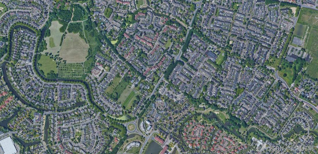
Map.addLayer(elevation, elevationVis, 'Elevation');原始影像:
DEM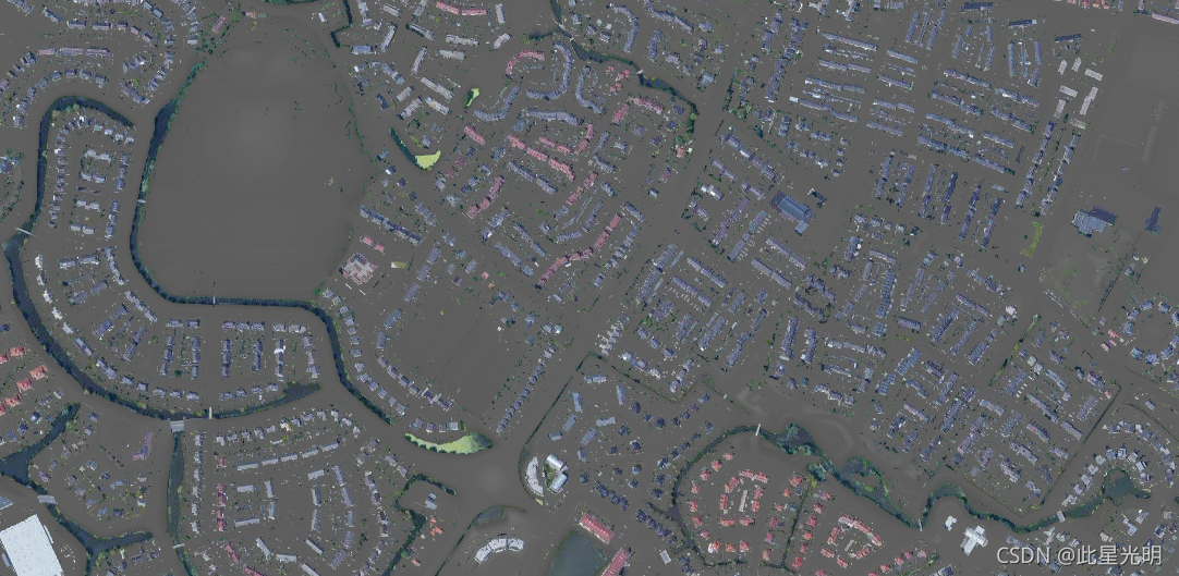


 515
515

 被折叠的 条评论
为什么被折叠?
被折叠的 条评论
为什么被折叠?
 到【灌水乐园】发言


