


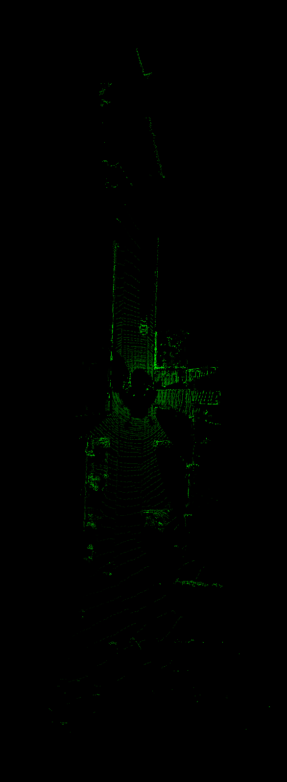
(附open3d python代码)
思路很简单,就是把每个三维的点坐标投影到图像坐标上面去,注意点:
1. 投影的时候有一个分辨率的参数,也就是每隔多少米投影一个点
2.坐标不要溢出图像的坐标范围即可。
效果如下:
def point_cloud_2_top_v2(points,
                         res=0.05,
                         range=None,
                         indices=None
                         ):
    """ Creates an birds eye view representation of the point cloud data for MV3D.
    Args:
        points:     (numpy array)
                    N rows of points data
                    Each point should be specified by at least 3 elements x,y,z
        res:        (float)
                    Desired resolution in metres to use.
                    Each output pixel will represent an
                    square region re
 订阅专栏 解锁全文


 1111
1111


 被折叠的 条评论
为什么被折叠?
被折叠的 条评论
为什么被折叠?
 到【灌水乐园】发言


