


简介
全球行政区划层(GAUL)数据集由联合国粮食及农业组织(FAO)开发和拥有。它提供了一个全面的全球各国次国家级行政单元空间数据集,与国际边界划分的联合国(UN)标准一致。
GAUL 2024 包含两个数据集:GAUL 2024 下级行政区划级别 1(GAUL_2024_L1)和 GAUL 2024 下级行政区划级别 2(GAUL_2024_L2)。该数据集通过整合来自相关来源的国家级数据而编制,涉及编辑几何形状、将属性标准化到统一的表格结构中,并为每个国家准备元数据。您可以在以下链接找到技术文档
数据集说明
空间信息
Data Sources¶ 数据来源
GAUL 2024 was compiled from multiple sources in order of priority:
GAUL 2024 从多个来源编制,优先级如下:
- Second Administrative Level Boundaries (SALB) geoportal - authoritative subnational boundary information managed by the UN Geographic Information Section
第二级行政边界(SALB)地理信息门户 - 由联合国地理信息部门管理的权威次级行政边界信息 - Humanitarian Data Exchange (HDX) platform - hosted by the Office for the Coordination of Humanitarian Affairs (OCHA)
人类数据交换(HDX)平台 - 由联合国人道主义事务协调办公室(OCHA)托管 - National Providers - relevant national authorities identified through online research or FAO national representations
国家提供者 - 通过在线研究或粮农组织(FAO)国家代表机构确定的相关国家当局 - GAUL 2015 - used when no other data sources were available
GAUL 2015 - 当没有其他数据来源时使用
Technical Details¶ 技术细节 
- Coordinate System: WGS84 (EPSG:4326)
坐标系:WGS84(EPSG:4326) - Data structure: Seamless and topologically corrected geometries
数据结构:无缝且拓扑校正的几何形状 - Coding system: Unique numeric codes within and across administrative levels
编码系统:行政级别内及跨级别唯一的数字代码 - Country (level 0): 100-999
国家(级别 0):100-999 - Level 1 unit: 1,000-99,999
一级单位:1,000-99,999 - Level 2 unit: 100,000-899,999
二级单位:100,000-899,999 - Waterbody: 900,000-999,000
水体:900,000-999,000
属性表
| Field name 字段名称 | Description 描述 | Data type 数据类型 | Length 长度 |
|---|---|---|---|
| iso3_code ISO3 代码 | ISO3 code ISO3 代码 | Text 文本 | 3 |
| map_code 地图代码 | Map code – used for joining statistics 地图代码 - 用于统计数据合并 | Text 文本 | 3 |
| gaul0_code gaul0 代码 | GAUL 2024 code at country level 国家级别的 GAUL 2024 代码 | Long 长 | |
| gaul0_name | Name of administrative unit at country level 国家级别的行政单元名称 | Text 文本 | 100 |
| gaul1_code gaul1 代码 | GAUL 2024 code at first level GAUL 2024 一级代码 | Long 长的 | |
| gaul1_name gaul1 名称 | Name of administrative unit at first level 一级行政单位名称 | Text 文本翻译结果: | 100 |
| gaul2_code gaul2 代码 | GAUL 2024 code at second level GAUL 2024 二级代码 | Long 长 | |
| gaul2_name | Name of administrative unit at second level 第二级行政单元名称 | Text 文本 | 100 |
| continent 大洲 | Name of the continent 大洲名称 | Text 文本 | 12 |
| disp_en 英文显示 | Display label in English 英文显示标签 | Text 文本 | 255 |
代码
var GAUL_2024_L1 = ee.FeatureCollection("projects/sat-io/open-datasets/FAO/GAUL/GAUL_2024_L1");
var GAUL_2024_L2 = ee.FeatureCollection("projects/sat-io/open-datasets/FAO/GAUL/GAUL_2024_L2");
var level1Style = {
fillColor: '00000000',
color: '000000',
width: 1.5
};
var level2Style = {
fillColor: '00000000',
color: '000000',
width: 1
};
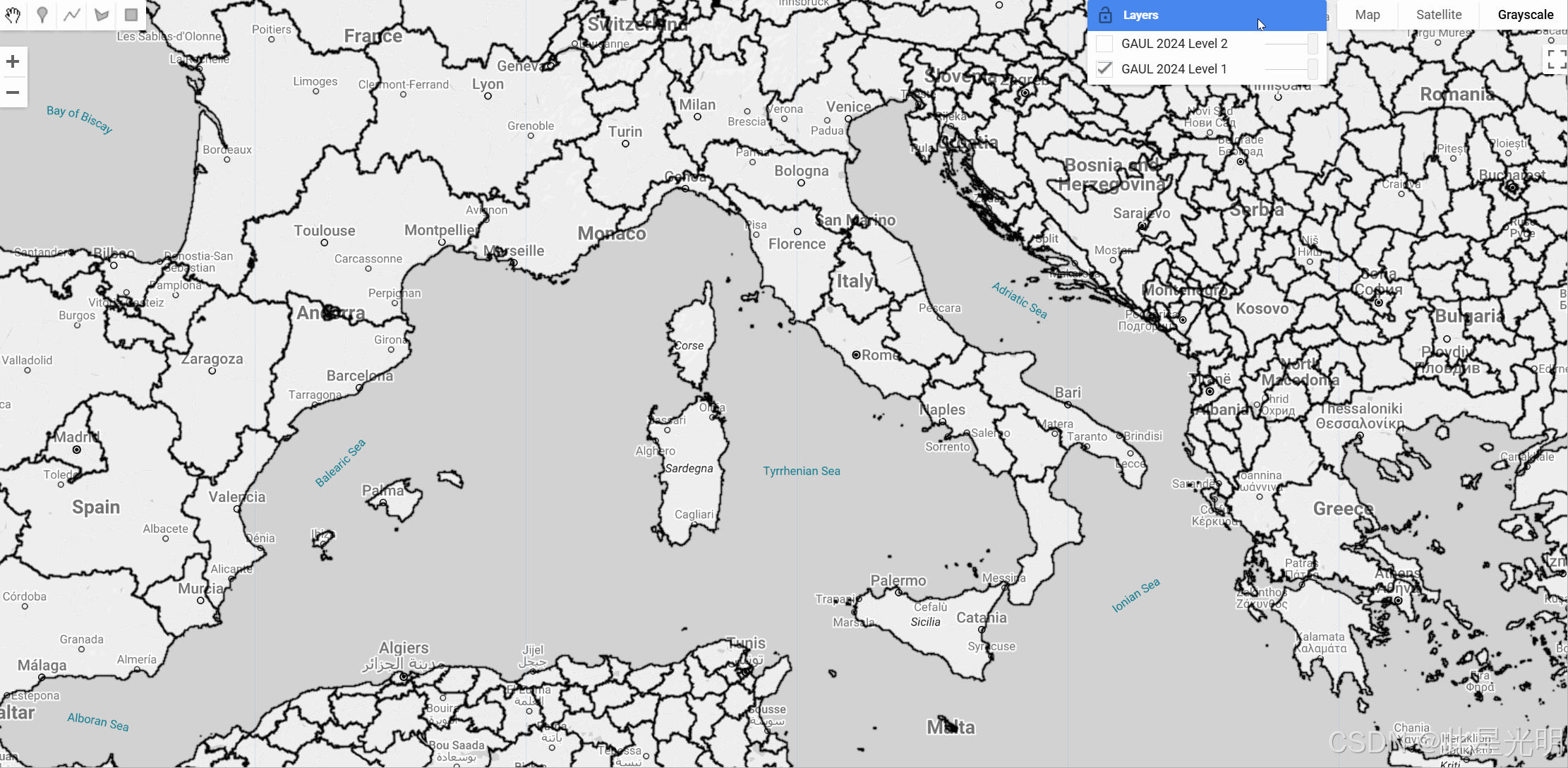
Map.addLayer(GAUL_2024_L1.style(level1Style), {}, 'GAUL 2024 Level 1');
Map.addLayer(GAUL_2024_L2.style(level2Style), {}, 'GAUL 2024 Level 2');
Map.setCenter(10.535, 39.465, 6);
var snazzy = require("users/aazuspan/snazzy:styles");
snazzy.addStyle("https://snazzymaps.com/style/132/light-gray", "Grayscale");
代码链接
结果
引用
GAUL 可在 Creative Commons Attribution-4.0 International 许可(CC BY 4.0)下使用。使用 GAUL 数据时,必须按照以下方式正确注明出处:GAUL 中包含的一些第三方数据可能具有不同的使用条款。用户有责任检查并遵守任何附加的限制。
注意
- GAUL 2024 should not be considered an authoritative or official representation of subnational boundaries. Its primary objective is to facilitate the representation of subnational statistics and attributes.
GAUL 2024 不应被视为次国家边界的权威或官方表示。其主要目标是促进次国家统计和属性的表示。 - Country names in GAUL 2024 follow the Names of Countries and Territories (NOCS) database.
GAUL 2024 中的国家名称遵循《国家与地区名称》(NOCS)数据库。 - The dataset adopts the Latin alphabet to represent place names in their native languages, preserving accents and diacritics where applicable.
该数据集采用拉丁字母来表示其原生语言中的地名,在适用的情况下保留重音和变音符号。 - Some administrative units may be labeled as "Administrative unit not available" when the data is not available.
某些行政单元在数据不可用时可能被标记为“行政单元不可用”。 - Waterbodies are included with unique code IDs greater than 900,000.
水体包含具有大于 900,000 的唯一代码 ID。
Produced and maintained by: Food and Agriculture Organization (FAO) of the United Nations
由联合国粮食及农业组织(FAO)制作和维护。
Keywords:
Administrative boundaries, Geospatial data, Subnational boundaries, FAO, Administrative units, International boundaries, Humanitarian data, SALB
关键词:行政边界、地理空间数据、次国家边界、FAO、行政单位、国际边界、人道主义数据、SALB。
最后更新:2025-04-02


 4336
4336

 被折叠的 条评论
为什么被折叠?
被折叠的 条评论
为什么被折叠?
 到【灌水乐园】发言


